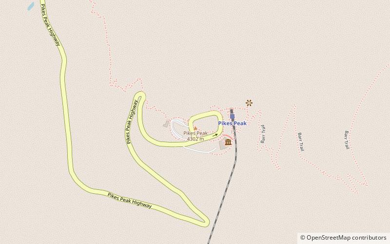
Pike's Peak Country, Pike National Forest

Map
Facts and practical information
Pike's Peak Country was the name given to the gold mining region of the western United States near Pikes Peak during the Pike's Peak Gold Rush of 1858–1861. The Pike's Peak Country included the region of western Kansas Territory roughly west of the 104th meridian west and the region of southwestern Nebraska Territory roughly west of the 104th meridian west and south of the 41st parallel north. The Pike's Peak Country became the heart of the extralegal Jefferson Territory on October 24, 1859, and the Colorado Territory on February 28, 1861. ()
Coordinates: 38°50'26"N, 105°2'38"W
Address
Pike National Forest
ContactAdd
Social media
Add
Day trips
Pike's Peak Country – popular in the area (distance from the attraction)
Nearby attractions include: Pikes Peak, Santa's Workshop.
Frequently Asked Questions (FAQ)
How to get to Pike's Peak Country by public transport?
The nearest stations to Pike's Peak Country:
Train
Train
- Pikes Peak (3 min walk)

