Star-Spangled Banner National Historic Trail, Baltimore

Facts and practical information
The Star-Spangled Banner National Historic Trail is a protected area that weaves through the fabric of American history in and around the city of Baltimore, United States. This trail commemorates the events of the War of 1812 and the resilience of a nation fighting for its survival. It is an expansive living history corridor that invites visitors to explore over 290 miles of waterways and landscapes in Maryland, Virginia, and the District of Columbia.
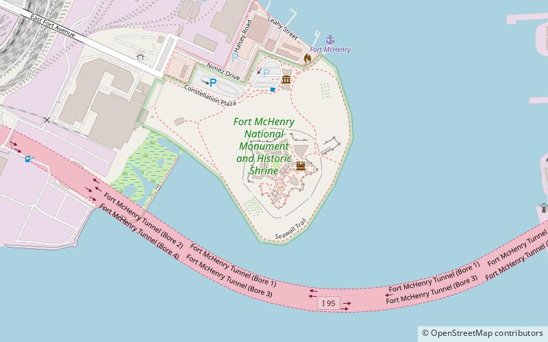
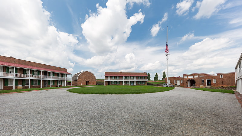
This historic trail traces the troop movements, battlegrounds, and the naval encounters that ultimately led to the defense of Baltimore and the writing of the United States' national anthem by Francis Scott Key. The most prominent feature of the trail is Fort McHenry, the birthplace of "The Star-Spangled Banner," where Key was inspired to pen the lyrics during the Battle of Baltimore in 1814.
The trail is not just a single site but a network of locations, including battlefields, historic sites, museums, and waterways that tell the story of the war's impact on the nation's history. Visitors can follow in the footsteps of soldiers and sailors, explore the Chesapeake Bay, and witness the landscapes that influenced the outcome of the conflict.
The Star-Spangled Banner National Historic Trail offers an immersive experience with a variety of activities for history buffs, nature lovers, and outdoor enthusiasts. One can hike or bike on land, paddle through water trails, engage with interactive exhibits, or participate in living history events.
Open year-round, the trail provides a unique opportunity to delve into the pivotal moments of America's "Second War of Independence." Each site along the trail provides interpretive signage and resources to guide visitors through the historical significance of the area.
- Bus
 Bus
Bus
- Calculate routeFort McHenry 8 min walk
- Calculate routeAndre Street 18 min walk
- Calculate routeTowson Street 20 min walk
- Calculate routeDecatur Street 23 min walk
Star-Spangled Banner National Historic Trail – popular in the area (distance from the attraction)
Nearby attractions include: Fort McHenry, Baltimore Museum of Industry, Armistead Monument, Christ United Church of Christ.


Frequently Asked Questions (FAQ)
Which popular attractions are close to Star-Spangled Banner National Historic Trail?
How to get to Star-Spangled Banner National Historic Trail by public transport?
Bus
- Fort McHenry • Lines: Banner (8 min walk)
- Andre Street • Lines: Banner (18 min walk)