Lazaretto Point Light, Baltimore
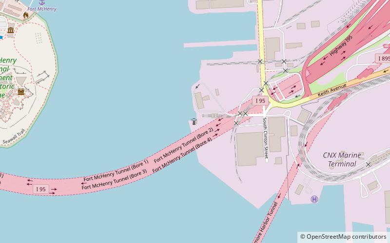
Map
Facts and practical information
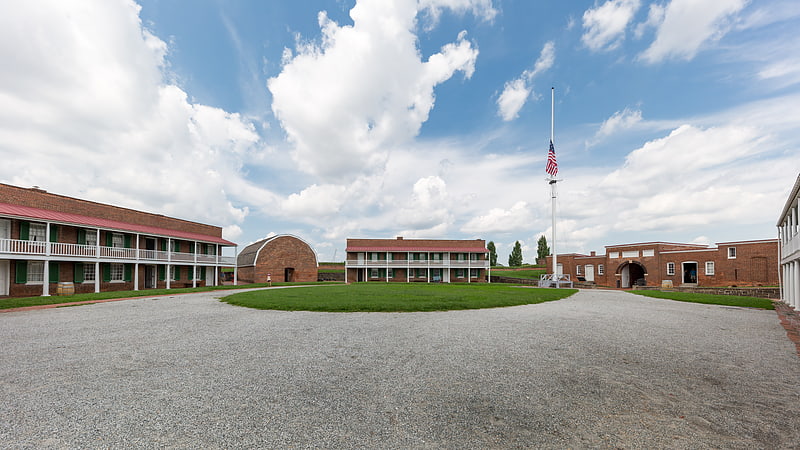
The Lazaretto Point Light was a historic lighthouse in Baltimore harbor. Though long demolished, a replica stands near its original site. ()
Coordinates: 39°15'44"N, 76°34'17"W
Address
Southeastern BaltimoreBaltimore
ContactAdd
Social media
Add
Getting there by public transportation
Public transportation stops near this location
- Bus
 Bus
Bus
- Calculate routeFort McHenry 19 min walk
- Calculate routeAndre Street 29 min walk
- Calculate routeTowson Street 31 min walk
Day trips


Frequently Asked Questions (FAQ)
Which popular attractions are close to Lazaretto Point Light?
Nearby attractions include Fort McHenry Tunnel, Baltimore (8 min walk), Fort McHenry, Baltimore (9 min walk), SS John W. Brown, Baltimore (11 min walk), Maritime Industrial Zoning Overlay District, Baltimore (11 min walk).
How to get to Lazaretto Point Light by public transport?
The nearest stations to Lazaretto Point Light:
Bus
Bus
- Fort McHenry • Lines: Banner (19 min walk)
- Andre Street • Lines: Banner (29 min walk)