Hazelwood Park, New Bedford
Map

Map

Facts and practical information
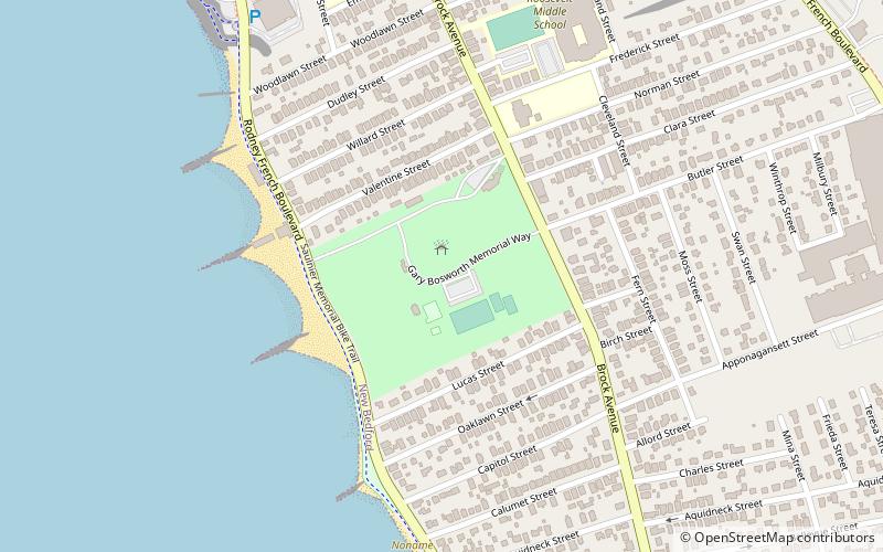
Hazelwood Park is a public park on Clark's Point in New Bedford, Massachusetts. The park occupies a plot of 23 acres on the west side of New Bedford's southern peninsula, between Rodney French Boulevard and Brock Avenue. It overlooks Clark's Cove which opens into Buzzards Bay. The park was listed on the National Register of Historic Places in 2010. ()
Built: 1840 (186 years ago)Elevation: 16 ft a.s.l.Coordinates: 41°36'24"N, 70°54'49"W
Day trips
Hazelwood Park – popular in the area (distance from the attraction)
Nearby attractions include: Fort Rodman, Fort Phoenix, Butler Flats Light, Clarks Point Light.


