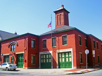
Fort Rodman, New Bedford
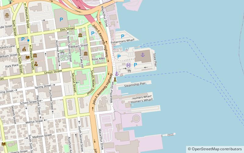
Map
Gallery
Facts and practical information
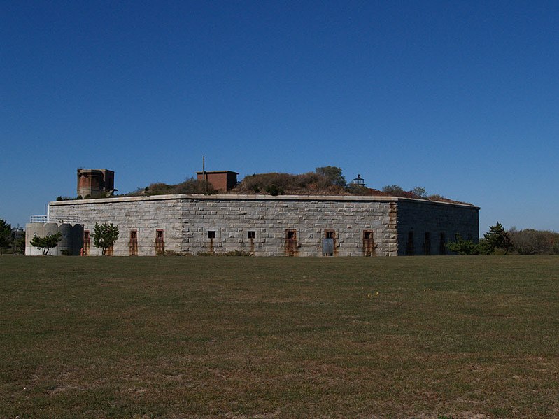
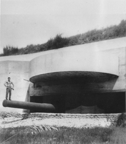
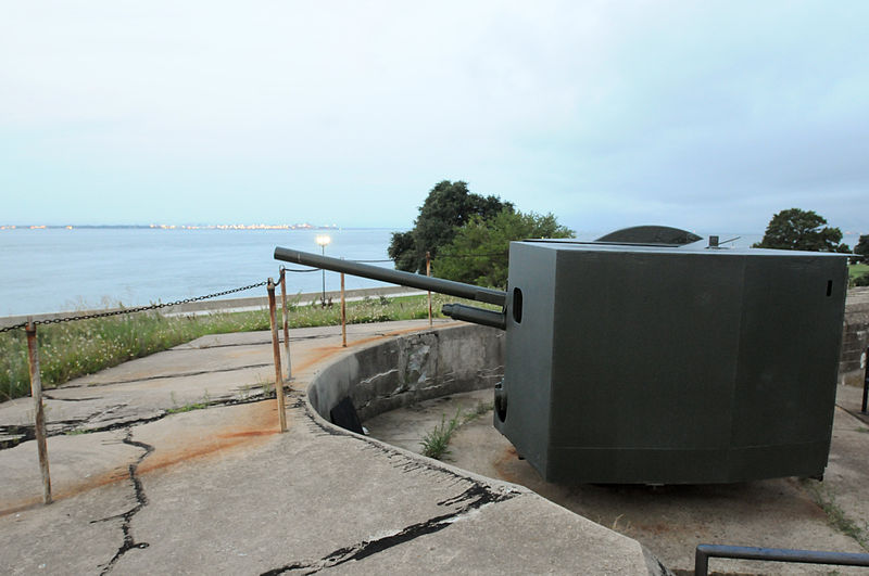
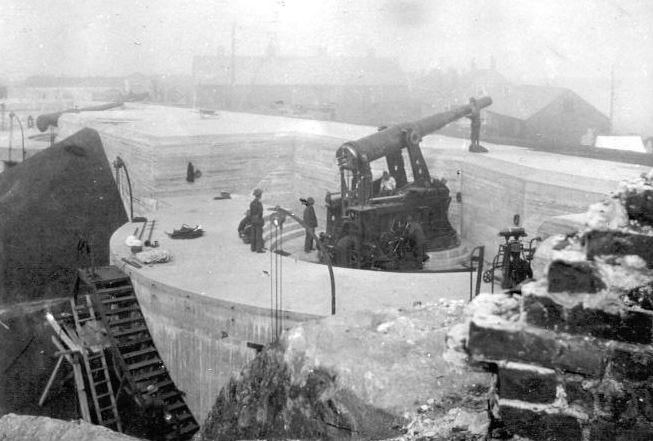
Fort Taber District or the Fort at Clark's Point is a historic American Civil War-era military fort on Wharf Road within the former Fort Rodman Military Reservation in New Bedford, Massachusetts. The fort is now part of Fort Taber Park, a 47-acre town park located at Clark's Point. Fort Taber was an earthwork built nearby with city resources and garrisoned 1861-1863 until Fort Rodman was ready for service. ()
Built: 1861 (165 years ago)Coordinates: 41°35'35"N, 70°54'5"W
Address
1000 S Rodney French BlvdWard SixNew Bedford 02744-1223
Contact
+1 508-994-3938
Social media
Add
Day trips
Fort Rodman – popular in the area (distance from the attraction)
Nearby attractions include: Effie M. Morrissey, The Rotch-Jones-Duff House & Garden Museum, Fort Phoenix, New Bedford Fire Museum.
Frequently Asked Questions (FAQ)
Which popular attractions are close to Fort Rodman?
Nearby attractions include Clarks Point Light, New Bedford (1 min walk), Butler Flats Light, New Bedford (21 min walk).


