Shoestring Falls, Alpine Lakes Wilderness
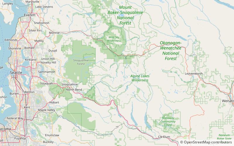
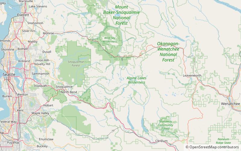
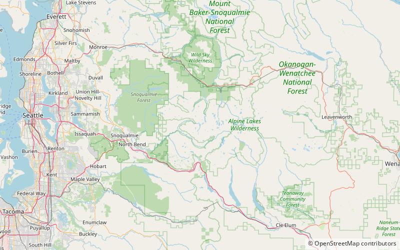
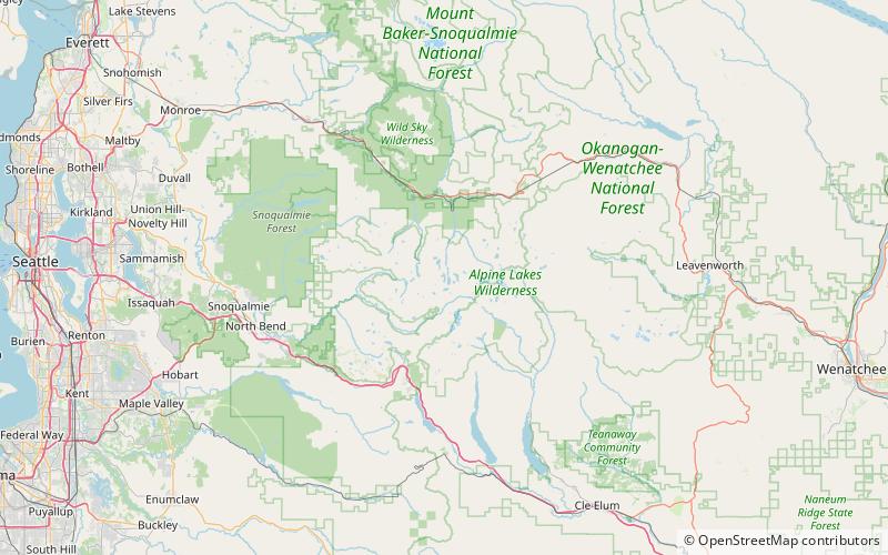
Map
Facts and practical information
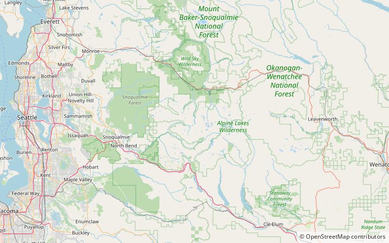
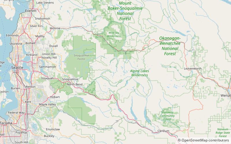
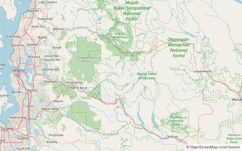
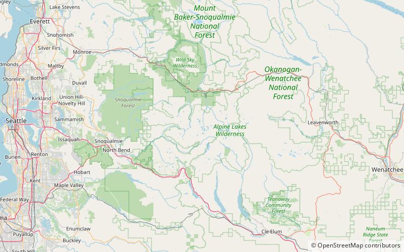
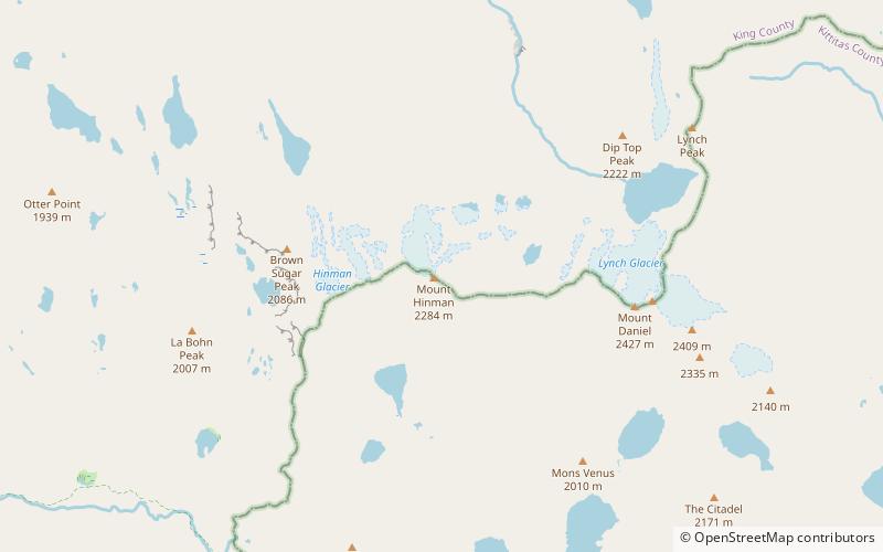
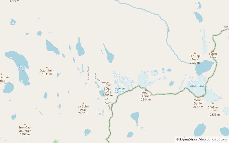
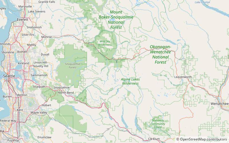
Shoestring Falls is a waterfall, about 1,000 feet high, fed by an unnamed stream coming from Malachite Glacier in the Alpine Lakes Wilderness Area, King County, Washington, United States. It is 20 feet in breadth and flows year-round, but is at peak flow May to July. It drops down the mountainside in five distinct tiers, with the two main tiers totaling about 700 feet. It is at 47.63127°N 121.31881°W / 47.63127; -121.31881. ()
Coordinates: 47°37'53"N, 121°19'8"W
Address
Alpine Lakes Wilderness
ContactAdd
Social media
Add
Day trips
Shoestring Falls – popular in the area (distance from the attraction)
Nearby attractions include: Lake Dorothy, Bear Lake, Deer Lake, Big Heart Falls.
