Trek Zone

McDonnell County Park, St. Louis

#281 among attractions in St. Louis

Relax in park, Park
McDonnell County Park location map
Map

Facts and practical information
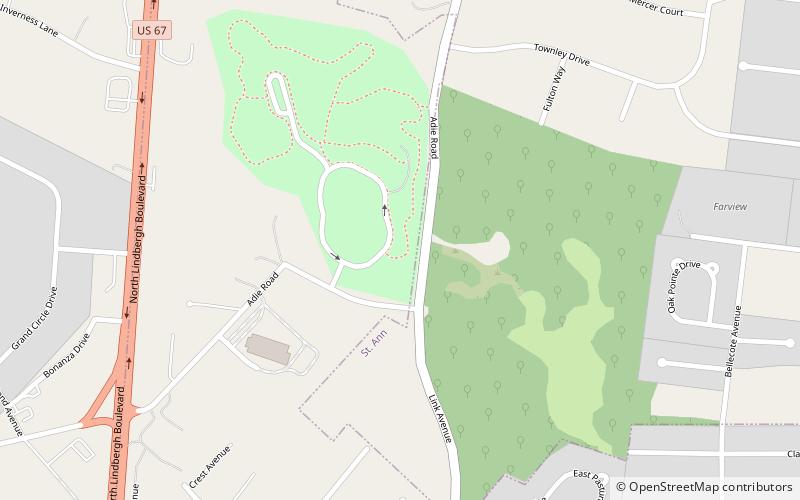
Created: 1978Elevation: 627 ft a.s.l.Coordinates: 38°42'49"N, 90°24'9"W
Address

2961 Adie RdSaint AnnSt. Louis United States

ContactAdd
Social media
Add
Day trips

McDonnell County Park – popular in the area (distance from the attraction)

Nearby attractions include: Westport Plaza, The Crossings at Northwest, Ruth Park Golf Course, Olivette.

  • westport plaza st louis2.5 miW
  • the crossings at northwest st louis1.4 miN
  • ruth park golf course st louis4.1 miSE
  • olivette bridgeton location map
    3.1 miSE
  • hollywood casino amphitheatre st louis4.2 miNW
  • washington park cemetery ferguson location map
    3.4 miE
  • creve coeur park st louis4.4 miW
  • congregation temple israel st louis location map
    4 miS
  • creve coeur st louis location map
    3.6 miSW
  • st ann st louis1.4 miNE
  • maryland heights st louis2.5 miW

Where to next? Visit missouri Missouri region page or discover the top tourist attractions in United States.