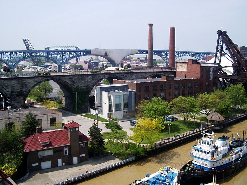
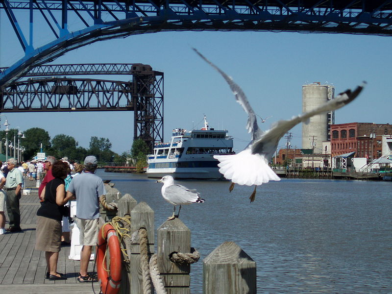
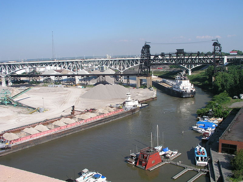
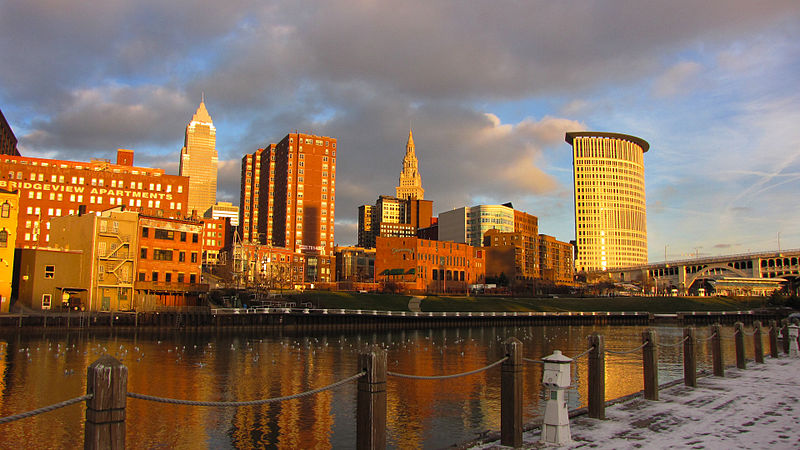
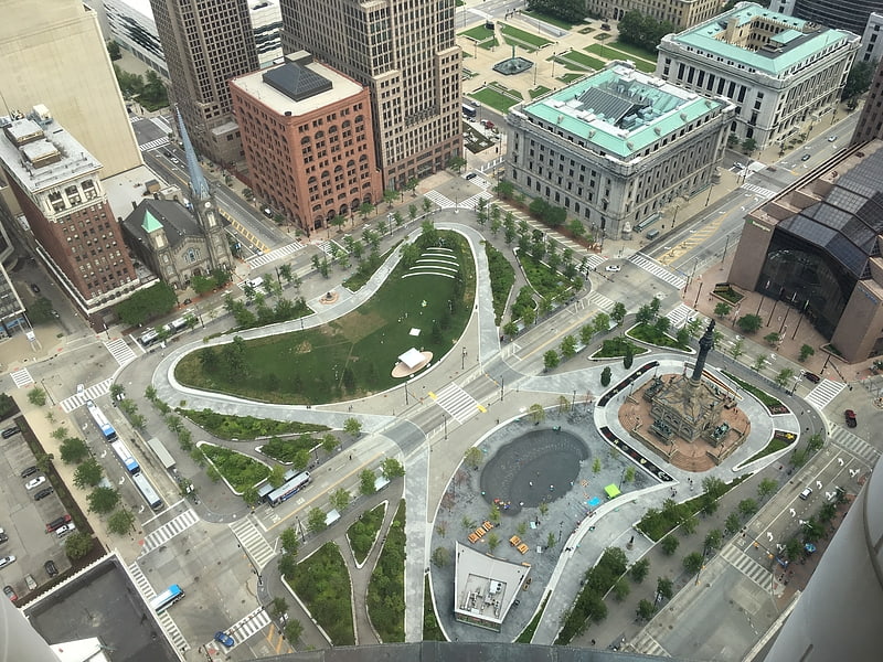
The Flats, Cleveland

Gallery (5)
Map

Map

Gallery
Facts and practical information
Address
TremontCleveland
ContactAdd
Social media
Add
Getting there by public transportation
Public transportation stops near this location
- Metro
- Bus
- Light rail
- Train
 Metro
Metro
- Calculate routeSettlers Landing 10 min walk
- Calculate routeTower City 11 min walk
- Calculate routeFlats East Bank 17 min walk
- Calculate routeWest 3rd 22 min walk
- Calculate routeTower City 11 min walk
- Calculate routeWest 25th–Ohio City 15 min walk
- Calculate route79 A/B 51A/B/C 22 26 12 min walk
- Calculate routeEast 6th Street 17 min walk
- Calculate routeEast 14th Street 25 min walk
- Calculate routeCleveland Greyhound Station 28 min walk
- Calculate routeCleveland 24 min walk
Day trips


Frequently Asked Questions (FAQ)
Which popular attractions are close to The Flats?
Nearby attractions include Hope Memorial Bridge, Cleveland (7 min walk), Time Warner Cable Amphitheater, Cleveland (9 min walk), AT&T Huron Road Building, Cleveland (9 min walk), Skylight Office Tower, Cleveland (10 min walk).
How to get to The Flats by public transport?
The nearest stations to The Flats:
Light rail
Metro
Bus
Train
Light rail
- Settlers Landing • Lines: 67Ax, 67AX Blue, Blue, Green (10 min walk)
- Tower City • Lines: 67Ax, 67AX Blue, Blue, Green (11 min walk)
Metro
- Tower City • Lines: Red (11 min walk)
- West 25th–Ohio City • Lines: Red (15 min walk)
Bus
- 79 A/B 51A/B/C 22 26 (12 min walk)
- East 6th Street (17 min walk)
Train
- Cleveland (24 min walk)