Hamlin Peak, Baxter State Park
Map
Gallery
Facts and practical information
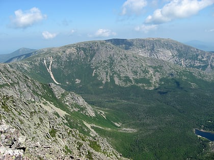
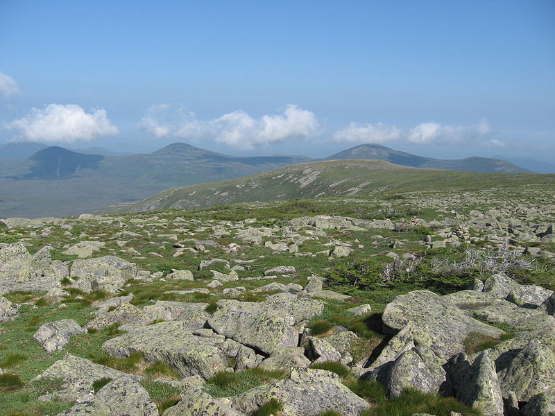
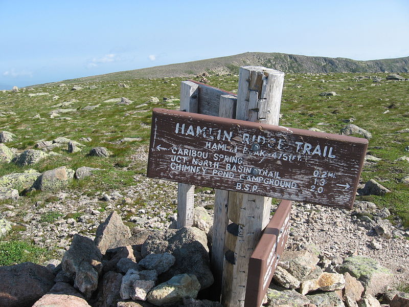
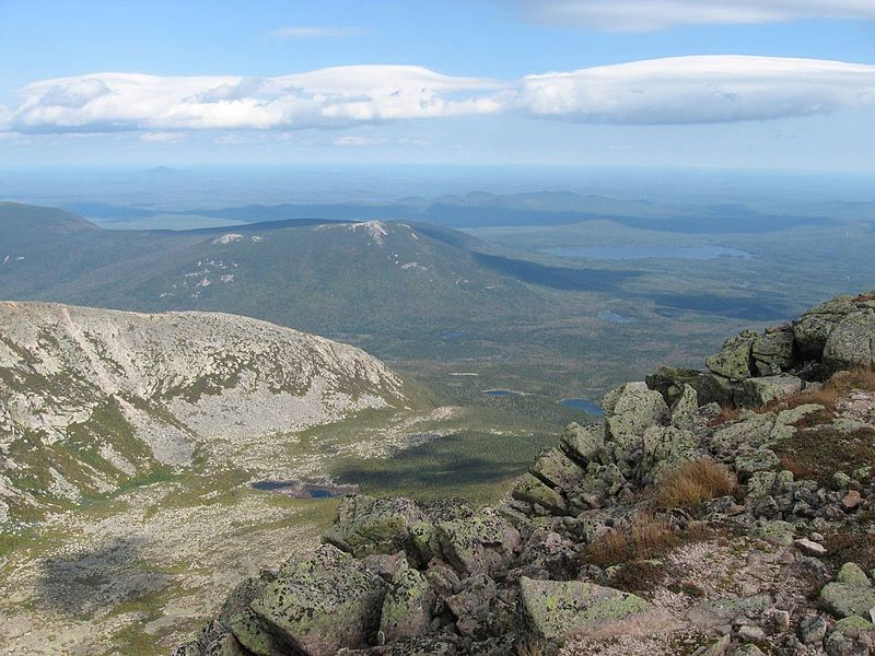
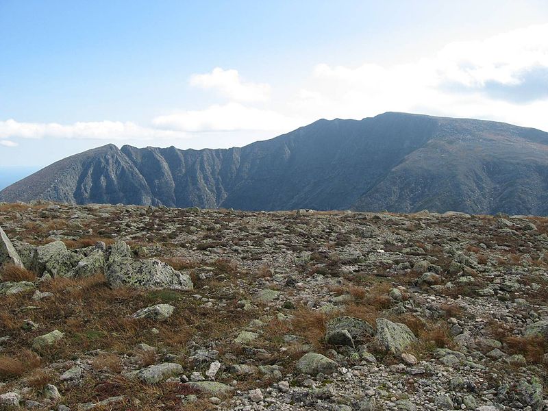
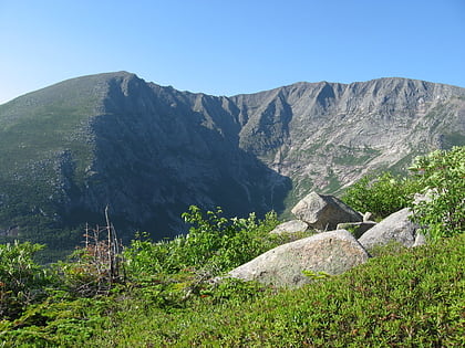
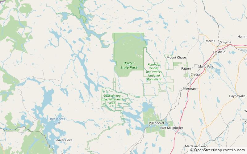
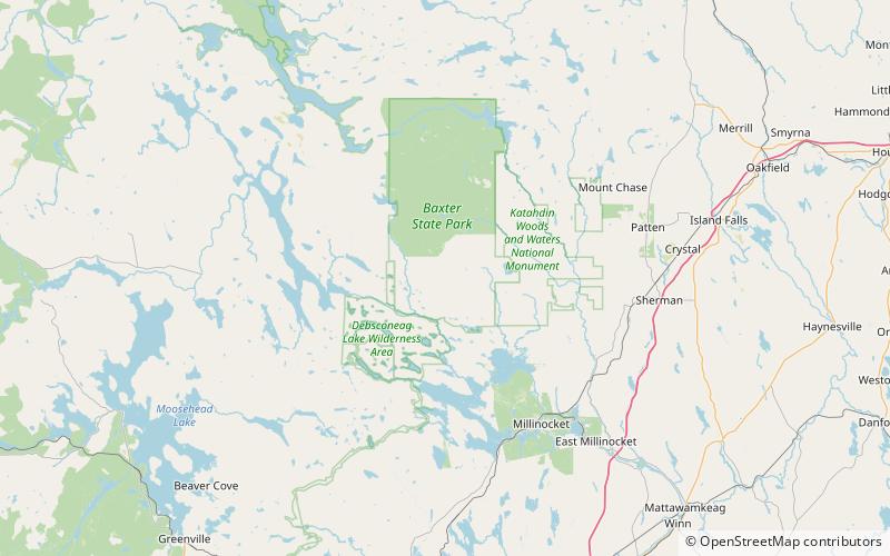
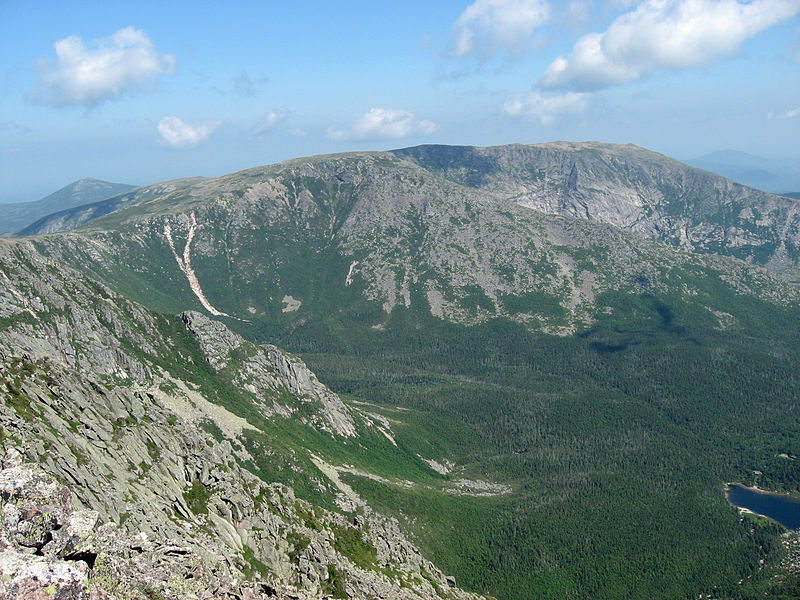
Hamlin Peak is a 4,756-foot mountain located in Baxter State Park in Piscataquis County, Maine. Hamlin Peak is a northern spur of the greater Mount Katahdin massif and is flanked to the south by Baxter Peak, and to the north by the Howe Peaks. Since it rises nearly 500 feet above the col joining it to the higher Baxter Peak, Hamlin Peak qualifies as a four-thousand footer based on the topographic prominence criterion used by the Appalachian Mountain Club, and is ranked as the second-highest peak in Maine. ()
Elevation: 4756 ftProminence: 496 ftCoordinates: 45°55'16"N, 68°55'24"W
Address
Baxter State Park
ContactAdd
Social media
Add
Day trips
Hamlin Peak – popular in the area (distance from the attraction)
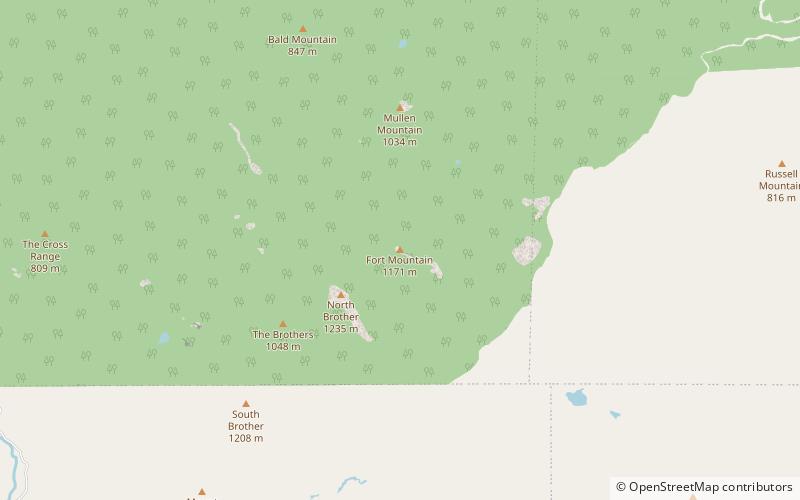
Nearby attractions include: Mount Katahdin, Mount Coe, North Brother, South Brother.
