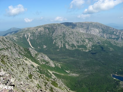
Katahdin Falls, Baxter State Park
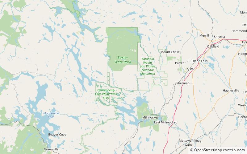
Map
Facts and practical information
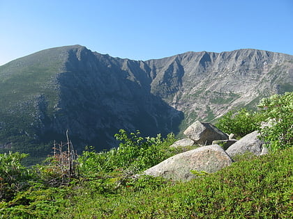
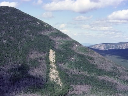
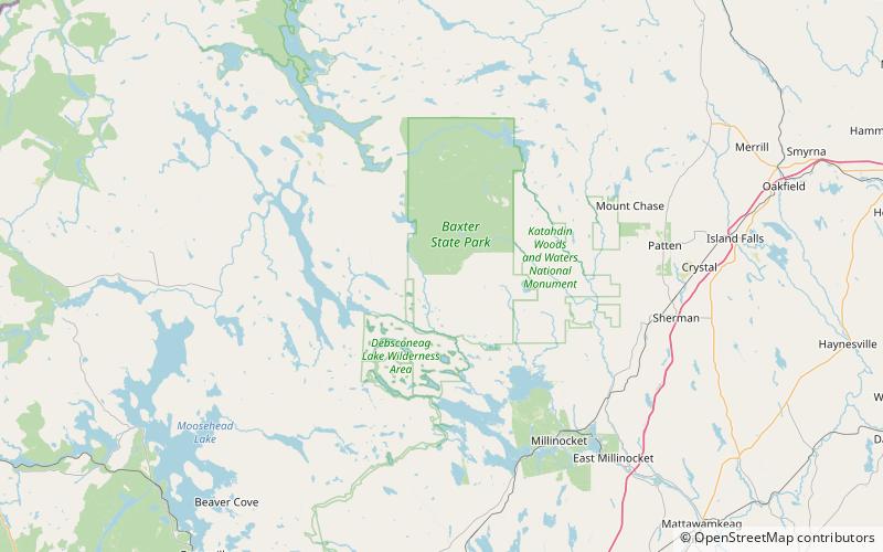
Katahdin Falls is the tallest waterfall in Maine, in the United States, dropping up to 800 vertical feet with a main drop of 280 feet. It is located in Baxter State Park in Piscataquis County opposite of Witherlie Ravine, on Mount Katahdin on a tributary of Katahdin Stream. ()
Height: 800 ftCoordinates: 45°54'33"N, 68°56'52"W
Address
Baxter State Park
ContactAdd
Social media
Add
Day trips
Katahdin Falls – popular in the area (distance from the attraction)
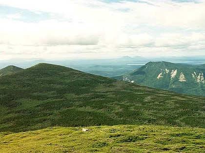
Nearby attractions include: Mount Katahdin, Doubletop Mountain, Mount Coe, North Brother.
