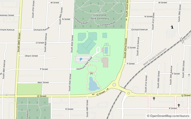
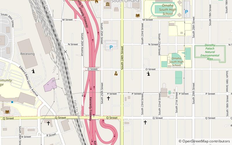
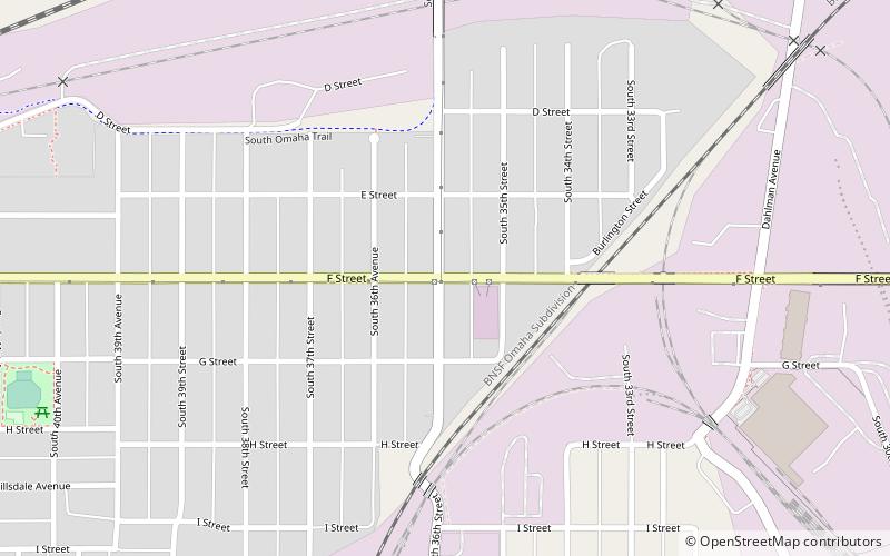
South Omaha, Omaha
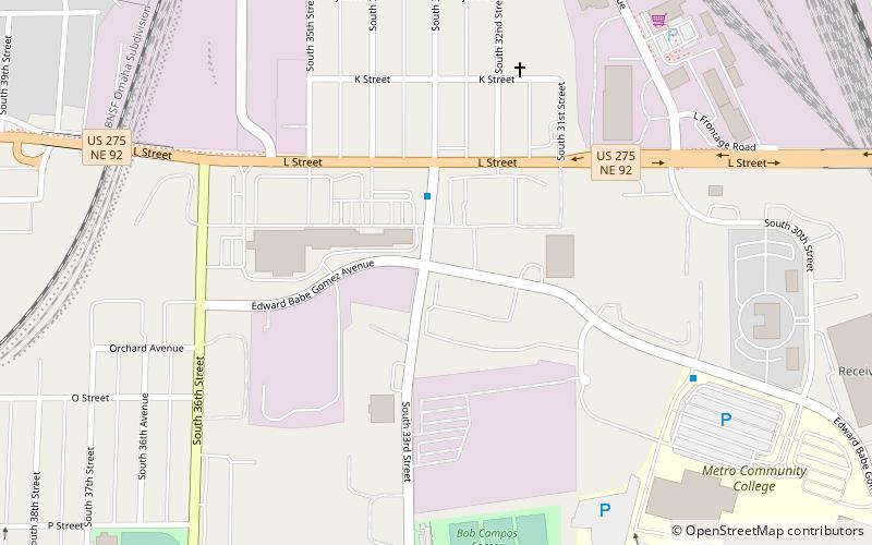
Map
Facts and practical information
South Omaha is a former city and current district of Omaha, Nebraska, United States. During its initial development phase the town's nickname was "The Magic City" because of the seemingly overnight growth, due to the rapid development of the Union Stockyards. Annexed by the City of Omaha in 1915, the community has numerous historical landmarks many are within the South Omaha Main Street Historic District. ()
Coordinates: 41°12'38"N, 95°57'45"W
Getting there by public transportation
Public transportation stops near this location
- Bus
 Bus
Bus
- Calculate routeHarrison via 27th Street 11 min walk
Day trips


Frequently Asked Questions (FAQ)
Which popular attractions are close to South Omaha?
Nearby attractions include Livestock Exchange Building, Omaha (9 min walk), Burlington Road neighborhood, Omaha (17 min walk), El Museo Latino, Omaha (20 min walk), Pulaski Park, Omaha (21 min walk).
How to get to South Omaha by public transport?
The nearest stations to South Omaha:
Bus
Bus
- Harrison via 27th Street • Lines: 24 (11 min walk)