Upland Park, Omaha
Map
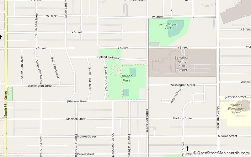
Map

Facts and practical information
Upland Park is a public park located at 3014 Jefferson Street in South Omaha, Nebraska. The park and surrounding neighborhood were opened in 1913. ()
Elevation: 1102 ft a.s.l.Coordinates: 41°11'48"N, 95°57'33"W
Address
South Central Omaha (Indian Hills South)Omaha
ContactAdd
Social media
Add
Day trips
Upland Park – popular in the area (distance from the attraction)
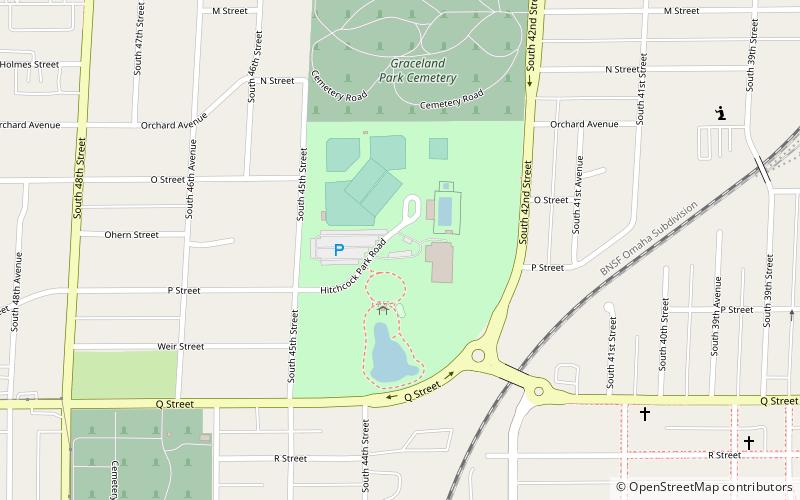
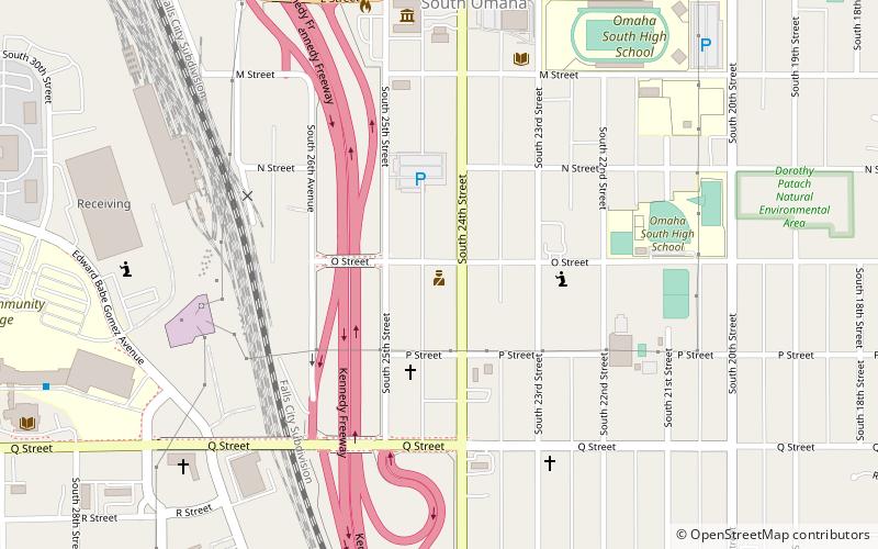
Nearby attractions include: El Museo Latino, Brown Park, Hitchcock Park, South Omaha.
Frequently Asked Questions (FAQ)
How to get to Upland Park by public transport?
The nearest stations to Upland Park:
Bus
Bus
- 30th & Harrison • Lines: 24 (11 min walk)
- 28th & Harrison • Lines: 24 (12 min walk)


