Quadrangle, Springfield
Map

Gallery
Facts and practical information
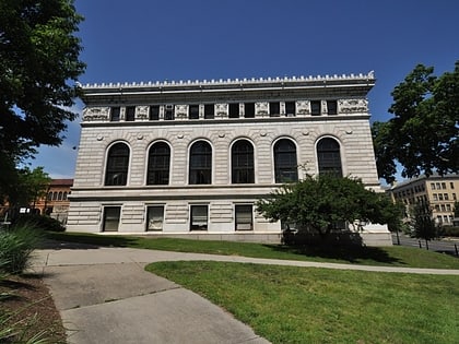
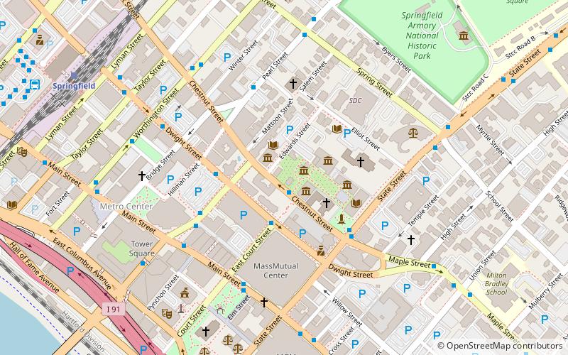
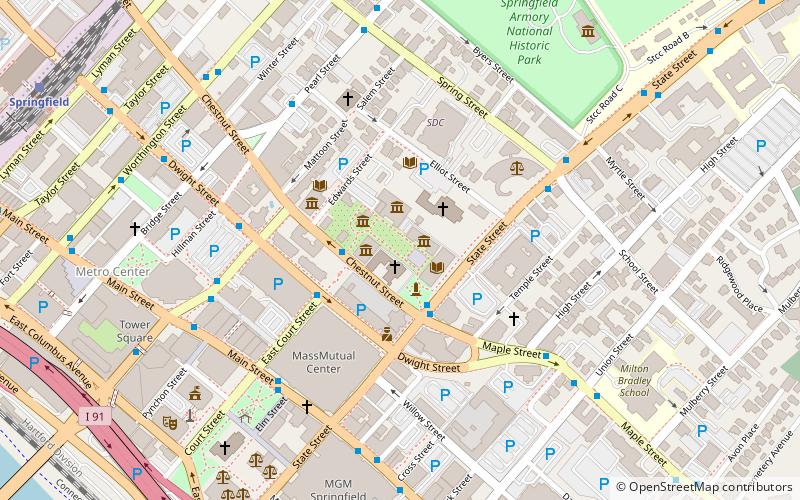
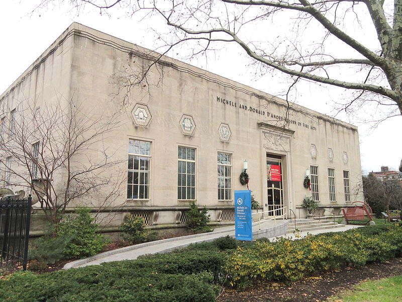
The Quadrangle is the common name for a cluster of museums and cultural institutions in Metro Center, Springfield, Massachusetts, on Chestnut Street between State and Edwards Streets. ()
Coordinates: 42°6'13"N, 72°35'11"W
Address
220 State StMetro CenterSpringfield
Contact
+1 413 263 6800
Social media
Add
Day trips
Quadrangle – popular in the area (distance from the attraction)
Nearby attractions include: MassMutual Center, Naismith Memorial Basketball Hall of Fame, Symphony Hall, St. Michael's Cathedral.
Frequently Asked Questions (FAQ)
Which popular attractions are close to Quadrangle?
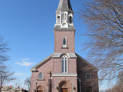
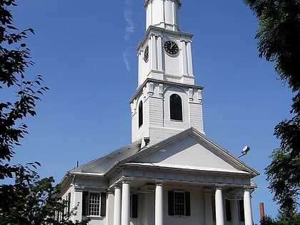
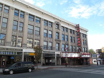
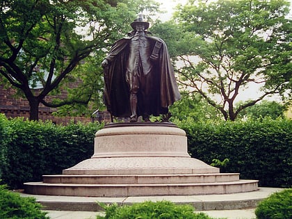
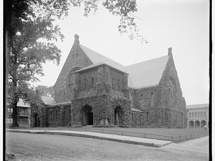
Nearby attractions include Christ Church Cathedral, Springfield (1 min walk), Dr. Seuss Memorial, Springfield (1 min walk), Amazing World of Dr. Seuss Museum, Springfield (2 min walk), The Puritan, Springfield (2 min walk).
How to get to Quadrangle by public transport?
The nearest stations to Quadrangle:
Train
Bus
Train
- Springfield (11 min walk)
Bus
- Berth 1 • Lines: G2 (12 min walk)
- Berth 7 • Lines: B7 (12 min walk)
