Symphony Hall, Springfield
Map
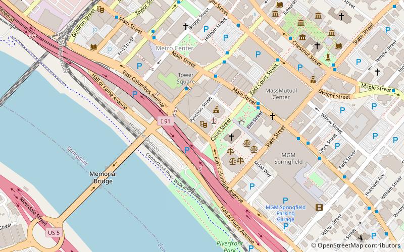
Map

Facts and practical information
The Municipal Group of Springfield, Massachusetts is a collection of three prominent municipal buildings in the city's Metro Center district. Consisting of a concert hall, City Hall, and a 300-foot-tall clocktower, the Group is a center of government and culture in the city. ()
Completed: 1913 (113 years ago)Floors: 4Coordinates: 42°6'3"N, 72°35'26"W
Day trips
Symphony Hall – popular in the area (distance from the attraction)
Nearby attractions include: MassMutual Center, Naismith Memorial Basketball Hall of Fame, Memorial Bridge, First Church of Christ.
Frequently Asked Questions (FAQ)
Which popular attractions are close to Symphony Hall?
Nearby attractions include Springfield Municipal Group, Springfield (1 min walk), Court Square, Springfield (2 min walk), Hampden County Courthouse, Springfield (3 min walk), First Church of Christ, Springfield (4 min walk).
How to get to Symphony Hall by public transport?
The nearest stations to Symphony Hall:
Train
Bus
Train
- Springfield (11 min walk)
Bus
- Berth 3 • Lines: P20 (11 min walk)
- Berth 4 • Lines: B6 (11 min walk)


