Cathey Peak, Lincoln National Forest
Map
Facts and practical information
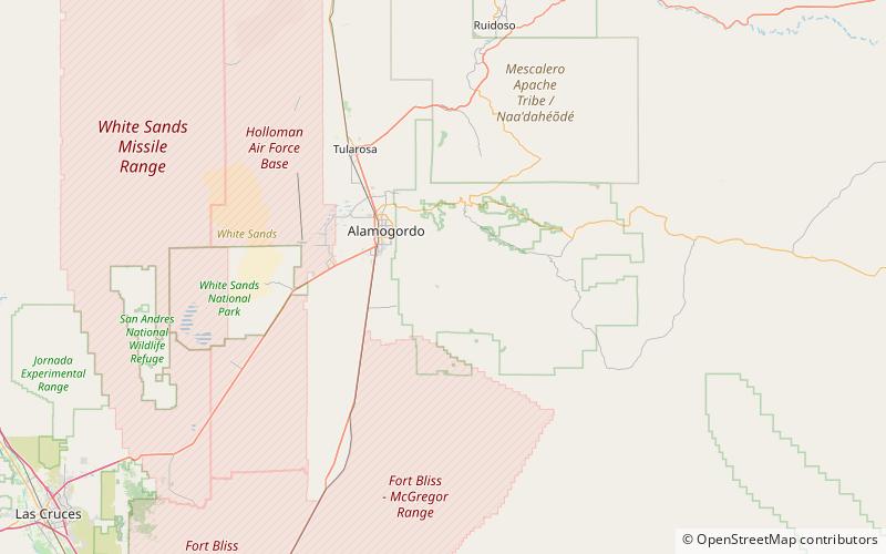
Cathey Peak is a peak in the Sacramento Mountains, in the south-central part of the U.S. State of New Mexico. It lies in Otero County, 10 miles southeast of the community of Alamogordo. ()
Elevation: 9645 ftCoordinates: 32°48'27"N, 105°48'0"W
Address
Lincoln National Forest
ContactAdd
Social media
Add
Day trips


