Lost Lake, Andrews Forest
#19 among attractions in Andrews Forest
Facts and practical information
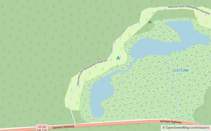
Lost Lake is a shallow closed-basin lake in the Willamette National Forest 29 kilometres southwest of Mount Jefferson and east of Santiam Junction, Oregon, United States. ()
Andrews Forest United States
Lost Lake – popular in the area (distance from the attraction)
Nearby attractions include: Hoodoo, Three Fingered Jack, Hogg Rock, Wasco Lake.
2.5 miSEWinter sport, Ski areaHoodoo, Andrews Forest
65 min walk • Hoodoo is a ski resort in the northwest United States, in the central Cascade Range of Oregon. Located near the summit of Santiam Pass on U.S. Route 20, the ski area operates on federal land through agreement with Willamette National Forest on Hoodoo Butte, a volcanic cinder cone. Hoodoo's slopes primarily face northeast.
4.6 miNENatural attraction, VolcanoThree Fingered Jack, Mount Jefferson Wilderness
118 min walk • Three Fingered Jack is a summit of a shield volcano of the Cascade Range in the U.S. state of Oregon. Formed during the Pleistocene epoch, the mountain consists mainly of basaltic andesite lava and was heavily glaciated in the past.
1.9 miENature, Natural attraction, VolcanoHogg Rock, Andrews Forest
50 min walk • Hogg Rock is a tuya volcano and lava dome in the Cascade Range of northern Oregon, located close to Santiam Pass. Produced by magma with an intermediate andesite composition, it has steep slopes and thick glassy margins.
7.2 miNENatural attraction, LakeWasco Lake, Mount Jefferson Wilderness
184 min walk • Wasco Lake is a glacially formed alpine lake located in Jefferson County, Oregon, United States. A part of the Mount Jefferson Wilderness Area, Wasco Lake is a popular hiking destination and can be accessed via the Pacific Crest Trail.
2.5 miSENature, Natural attraction, VolcanoHoodoo Butte, Andrews Forest
64 min walk • Hoodoo Butte is a cinder cone butte in the Cascade Range of northern Oregon, located near Santiam Pass. Immediately to the east lies Hayrick Butte, a prime example of a tuya; the two mountains' names were likely mistaken for each other, but stuck with them over time.
6.1 miSWNature, Natural attraction, LakeClear Lake, Andrews Forest
156 min walk • Clear Lake is a mountain lake 86 mi northeast of Eugene, Oregon, United States in Linn County. It has two main bodies connected by a bottleneck. The lake is primarily fed by snow runoff from nearby Mount Washington and the surrounding areas. The runoff filters through caverns for more than 20 years before emptying into Clear Lake.
3 miSENature, Natural attraction, VolcanoHayrick Butte, Andrews Forest
77 min walk • Hayrick Butte is a tuya, a type of subglacial volcano, in Linn County, Oregon. Located in the Willamette National Forest near Santiam Pass, it lies adjacent to the cinder cone Hoodoo Butte, which has a ski area.
3.4 miNNatural attraction, LakeSantiam Lake, Mount Jefferson Wilderness
86 min walk • Santiam Lake is a lake in the U.S. state of Oregon, west of Three Fingered Jack in the Cascade Range. It is headwaters for the North Santiam River and drains a portion of the southwestern Mount Jefferson Wilderness.
4.4 miSEMountain pass, NatureSantiam Pass, Andrews Forest
113 min walk • Santiam Pass is a 4,817-foot mountain pass in the Cascade Range in central Oregon in the United States. It is located on the border between Linn and Jefferson counties, about 18 mi northwest of Sisters, between the prominent volcanic horns of Three Fingered Jack to the north and Mount Washington to the south.