Hayrick Butte, Andrews Forest

Gallery (2)
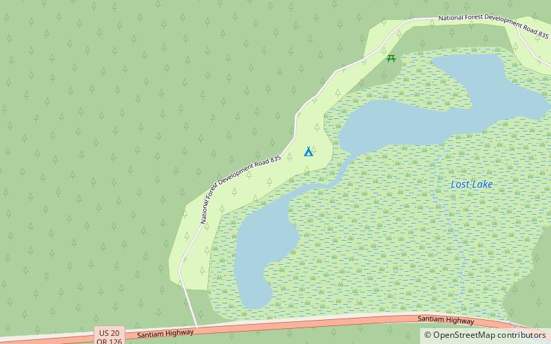
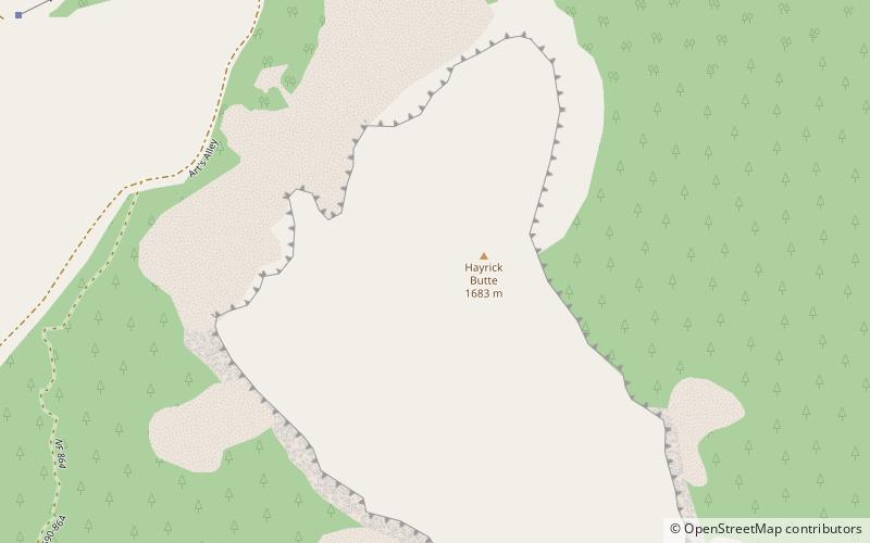
Map
Map
Gallery
Facts and practical information
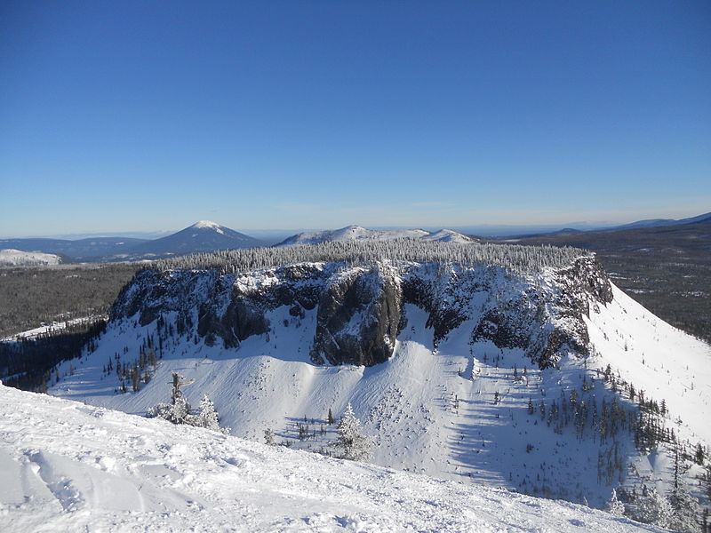
Hayrick Butte is a tuya, a type of subglacial volcano, in Linn County, Oregon. Located in the Willamette National Forest near Santiam Pass, it lies adjacent to the cinder cone Hoodoo Butte, which has a ski area. Hayrick Butte likely formed when lava erupted underneath an overlying glacier or ice sheet, producing the flat top with near-vertical walls along the ice-contact margin as the lava cooled and hardened. Hayrick Butte has a nearly flat plateau about 0.5 miles across and steep walls rising about 700 feet above its surroundings. A cartographer accidentally switched the names for nearby Hoodoo Butte and Hayrick Butte; the word "hoodoo" usually refers to rock piles and pinnacles like those observed at Hayrick Butte. ()
Elevation: 5482 ftCoordinates: 44°23'57"N, 121°52'16"W
Day trips