Bethel Burial Ground, Philadelphia
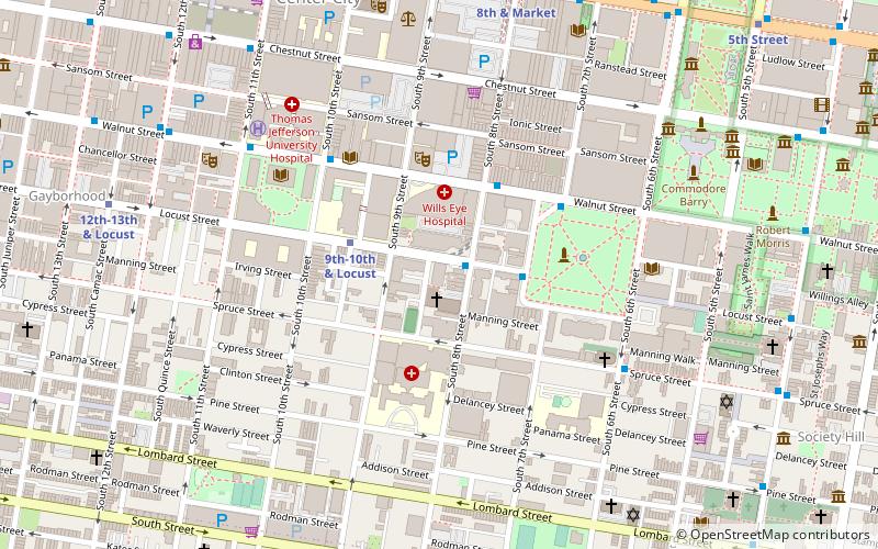
Map

Gallery

Facts and practical information
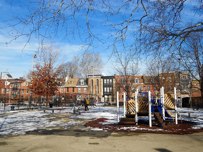
Bethel Burial Ground is a historic cemetery located in South Philadelphia, Pennsylvania beneath part of the surface of Weccacoe Playground, which is bounded by Queen, S. Lawrence, Catherine, and S. Liethgow Streets. The burial ground was about 100 feet square and is located below the southwest corner of the current playground. ()
Built: 1810 (216 years ago)Coordinates: 39°56'16"N, 75°9'3"W
Address
400 Catharine StreetCenter City (Queen Village)Philadelphia 19147
ContactAdd
Social media
Add
Day trips
Bethel Burial Ground – popular in the area (distance from the attraction)
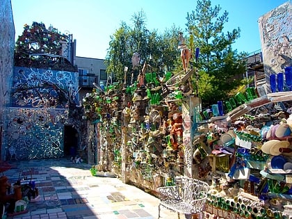
Nearby attractions include: Philadelphia's Magic Gardens, Theatre of Living Arts, Musical Fund Hall, Gloria Dei Church.
Frequently Asked Questions (FAQ)
Which popular attractions are close to Bethel Burial Ground?
Nearby attractions include Queen Village, Philadelphia (3 min walk), William M. Meredith School, Philadelphia (4 min walk), Southwark, Philadelphia (5 min walk), George W. Nebinger School, Philadelphia (5 min walk).
How to get to Bethel Burial Ground by public transport?
The nearest stations to Bethel Burial Ground:
Bus
Metro
Train
Tram
Light rail
Bus
- Spruce St & 6th St • Lines: 12 (14 min walk)
- Washington Sq & Locust St • Lines: 12, 47 (17 min walk)
Metro
- 9th-10th & Locust • Lines: Patco (19 min walk)
- Ellsworth-Federal • Lines: Bsl (23 min walk)
Train
- Jefferson Station (29 min walk)
- Suburban Station (37 min walk)
Tram
- 13th Street • Lines: 10, 11, 13, 34, 36 (30 min walk)
- 15th Street • Lines: 10, 11, 13, 34, 36 (33 min walk)
Light rail
- Adventure Aquarium • Lines: River Line (33 min walk)

 SEPTA Regional Rail


