KCBS-TV/FM Tower, Angeles National Forest
Map
Facts and practical information
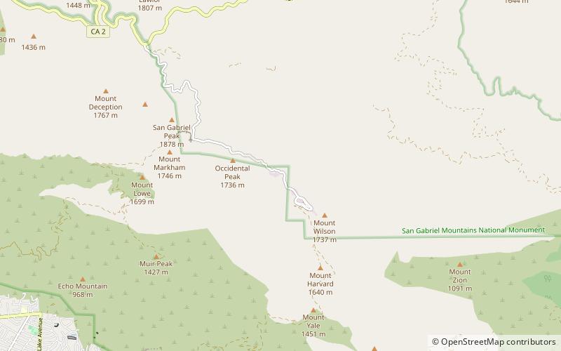
KCBS-TV/FM Tower is a 296.4 meter high guyed radio/television tower on Mount Wilson above Los Angeles at 123 CBS Lane. The KCBS-TV/FM Tower was built in 1986. It was owned by CBS Corporation and used by KCBS-TV and KCBS-FM. When the DTV conversion was planned the CBS transmitters were installed in the Channel 9 building and combined onto one antenna. The guyed tower facility, the westernmost on Mount Wilson, was sold in November 2009 to Richland Towers whose headquarters is in Tampa, Florida. However, as part of the spectrum auction repack, KCBS-TV moved back to the tower. ()
Coordinates: 34°13'55"N, 118°4'19"W
Address
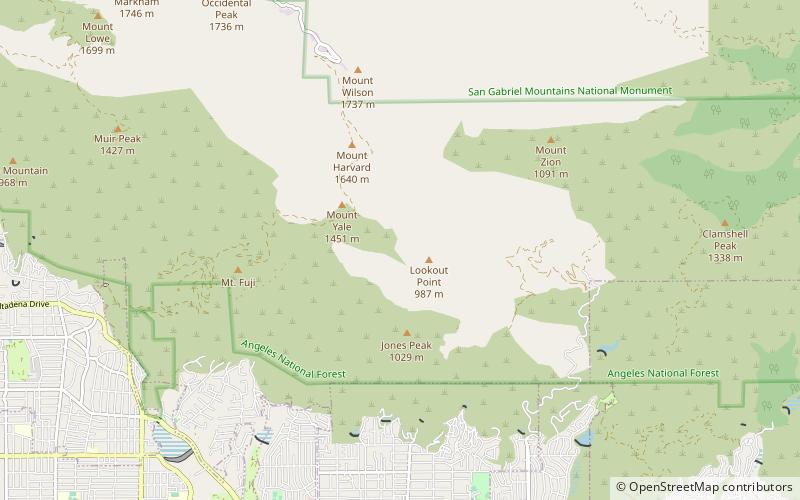
Angeles National Forest
ContactAdd
Social media
Add
Day trips


Frequently Asked Questions (FAQ)
Which popular attractions are close to KCBS-TV/FM Tower?
Nearby attractions include KHJ-TV/FM Tower, San Gabriel Mountains National Monument (8 min walk), Mount Wilson, San Gabriel Mountains National Monument (22 min walk).