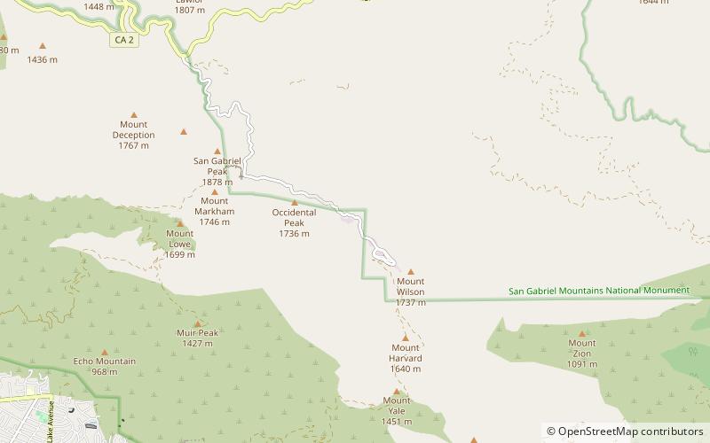
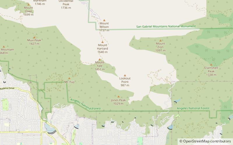
Mount Wilson Toll Road, Angeles National Forest
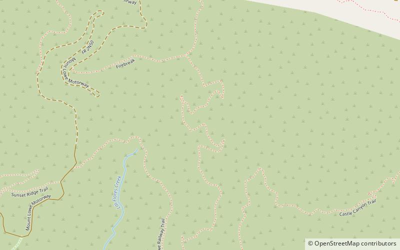
Map
Facts and practical information
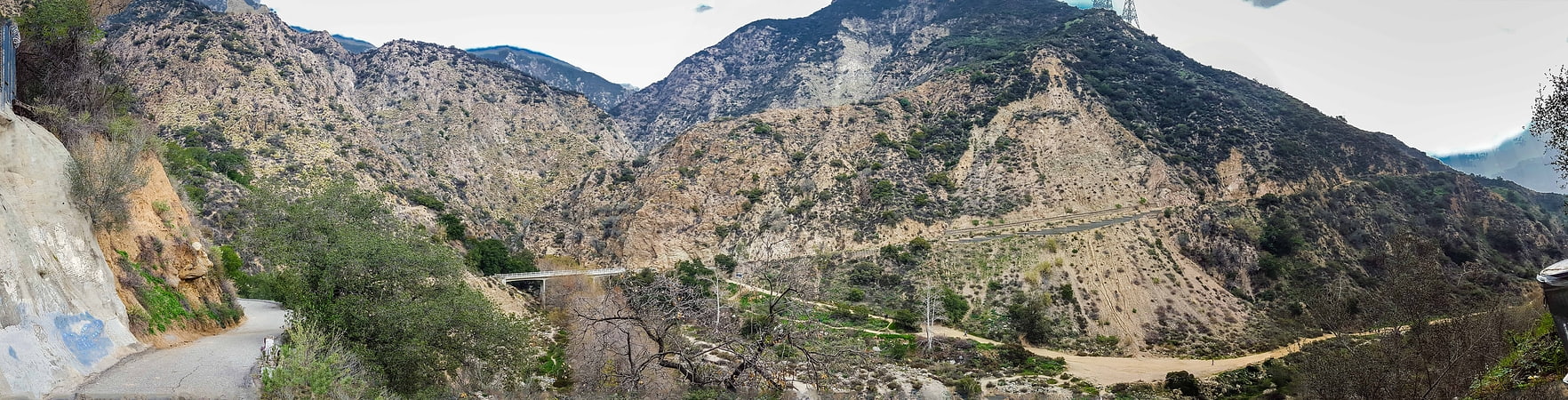
The Mount Wilson Toll Road is a historic roadway which ascended Mount Wilson via a vehicular passable road from the base of the foothills in Altadena. It was accessible from Pasadena via Santa Anita Avenue which drove right to the front porch of the toll house. The road is still accessible to non-motorized traffic by way of Eaton Canyon. Segments of it have been closed at various times due to landslides. A 2005 landslide destroyed 50 yards of the road, but it has since been rebuilt and reopened. ()
Coordinates: 34°11'54"N, 118°3'14"W
Day trips