Lightship No. 114, New Bedford
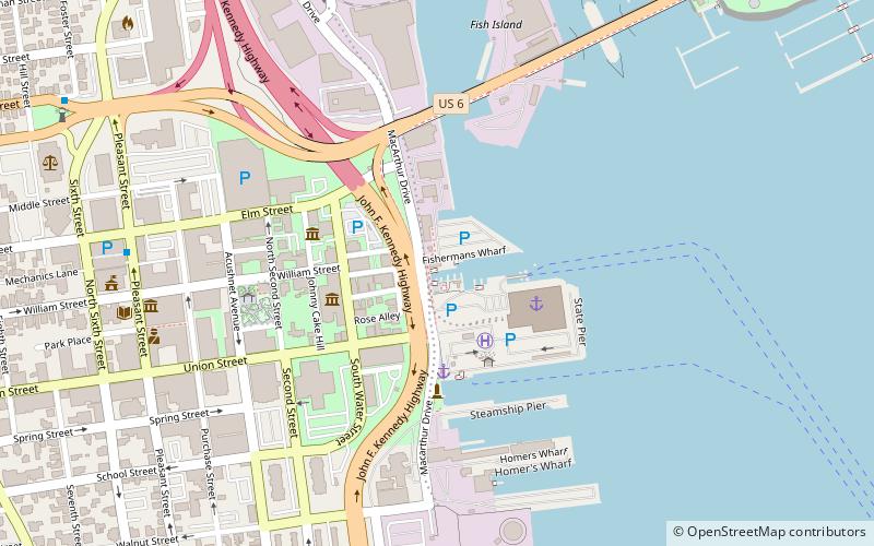
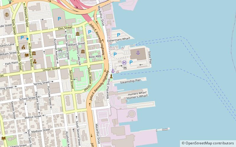
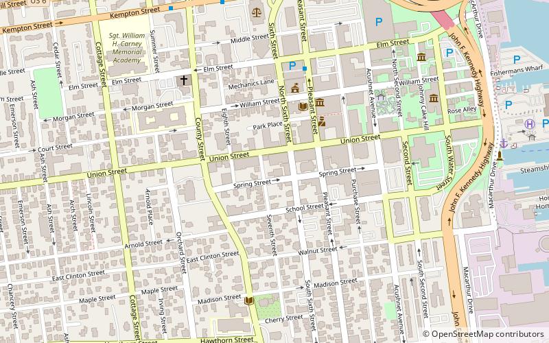
Map
Facts and practical information
Lightship No. 114, later U.S. Coast Guard WAL 536, that served as lightship Fire Island, Examination Vessel, Diamond Shoal, 1st District relief vessel, Pollock Rip and Portland. After decommissioning in 1971, in 1975 the lightship became a historic ship at the State Pier in New Bedford, Massachusetts. She received little maintenance, and eventually sank at her moorings in 2006 and was sold for scrap the next year. ()
Coordinates: 41°38'8"N, 70°55'16"W
Address
New Bedford
ContactAdd
Social media
Add
Day trips
Lightship No. 114 – popular in the area (distance from the attraction)
Nearby attractions include: New Bedford Whaling National Historical Park, New Bedford Whaling Museum, Effie M. Morrissey, The Rotch-Jones-Duff House & Garden Museum.
Frequently Asked Questions (FAQ)
Which popular attractions are close to Lightship No. 114?
Nearby attractions include New Bedford Whaling Museum, New Bedford (3 min walk), Effie M. Morrissey, New Bedford (3 min walk), Seamen's Bethel, New Bedford (4 min walk), Old Third District Courthouse, New Bedford (4 min walk).
How to get to Lightship No. 114 by public transport?
The nearest stations to Lightship No. 114:
Bus
Bus
- Mill St. Stop • Lines: 9 (11 min walk)
- Kempton St. Stop • Lines: 9 (12 min walk)


