New Bedford – Fairhaven Bridge, New Bedford
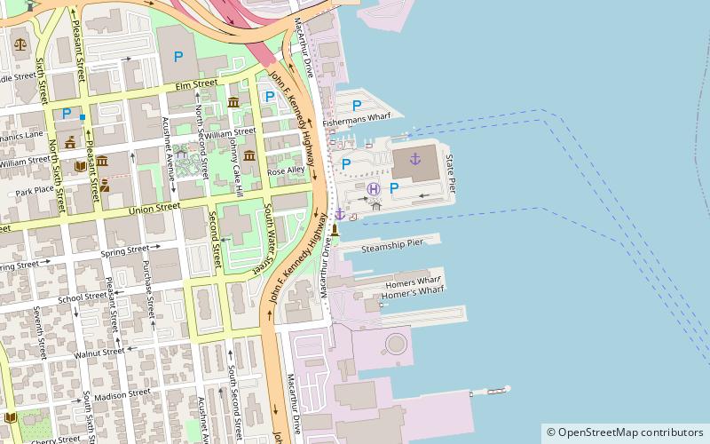
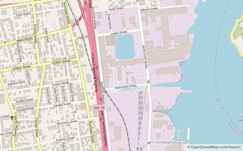
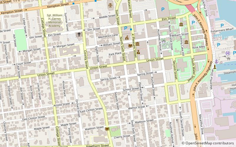
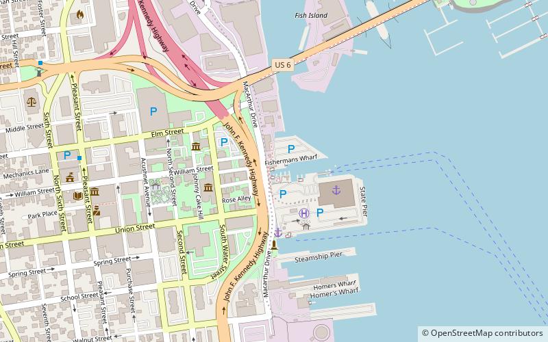
Map
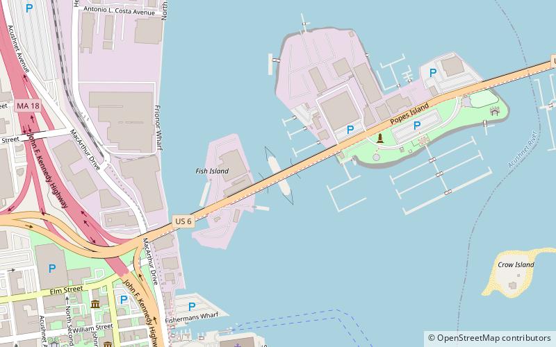
Map

Facts and practical information
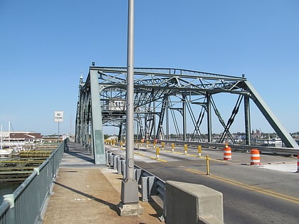
The New Bedford-Fairhaven Bridge is a swing truss bridge which connects New Bedford, Massachusetts with Fairhaven, Massachusetts. ()
Opened: 1900 (126 years ago)Length: 283 ftWidth: 71 ftCoordinates: 41°38'21"N, 70°55'4"W
Day trips
New Bedford – Fairhaven Bridge – popular in the area (distance from the attraction)
Nearby attractions include: New Bedford Whaling National Historical Park, New Bedford Whaling Museum, Effie M. Morrissey, The Rotch-Jones-Duff House & Garden Museum.
Frequently Asked Questions (FAQ)
Which popular attractions are close to New Bedford – Fairhaven Bridge?
Nearby attractions include Prince Henry the Navigator Park, New Bedford (6 min walk), Lightship No. 114, New Bedford (8 min walk), Effie M. Morrissey, New Bedford (10 min walk), New Bedford Whaling Museum, New Bedford (10 min walk).
How to get to New Bedford – Fairhaven Bridge by public transport?
The nearest stations to New Bedford – Fairhaven Bridge:
Bus
Bus
- Mill St. Stop • Lines: 9 (14 min walk)
- Kempton St. Stop • Lines: 9 (16 min walk)
