Pennypack Creek, Philadelphia
Map

Map

Facts and practical information
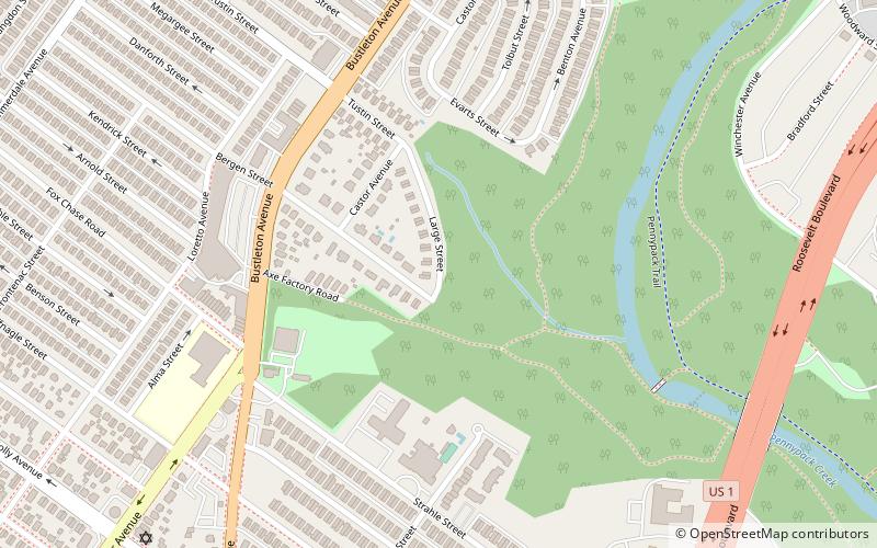
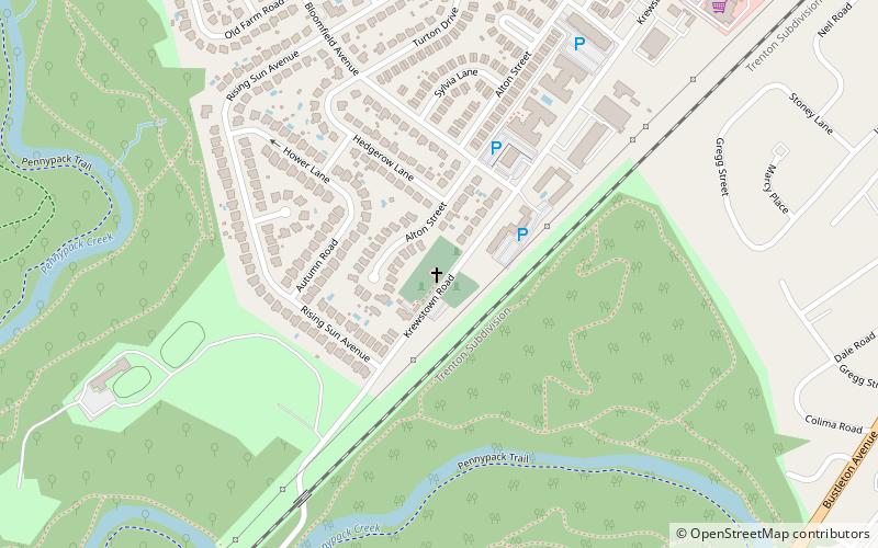
Pennypack Creek is a 22.6-mile-long creek in southeastern Pennsylvania in the United States. It runs southeast through lower Bucks County, eastern Montgomery County and the northeast section of Philadelphia, before emptying into the Delaware River. ()
Elevation: 102 ft a.s.l.Coordinates: 40°4'6"N, 75°2'51"W
Address
Near Northeast Philadelphia (Rhawnhurst)Philadelphia
ContactAdd
Social media
Add
Day trips
Pennypack Creek – popular in the area (distance from the attraction)
Nearby attractions include: Pennepack Baptist Church, Politz Hebrew Academy, Rhawnhurst, Woodrow Wilson Middle School.
Frequently Asked Questions (FAQ)
Which popular attractions are close to Pennypack Creek?
Nearby attractions include Pennypack, Philadelphia (4 min walk), Rhawnhurst, Philadelphia (12 min walk), Pennepack Baptist Church, Philadelphia (24 min walk).

 SEPTA Regional Rail


