Krewstown, Philadelphia

Map
Facts and practical information
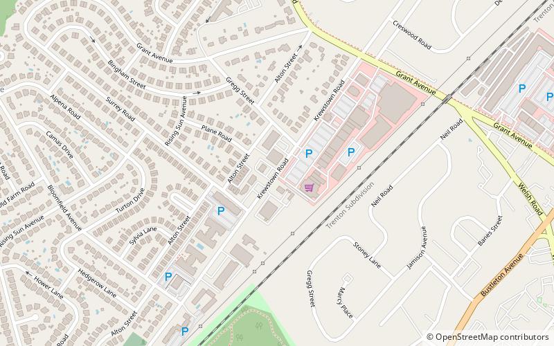
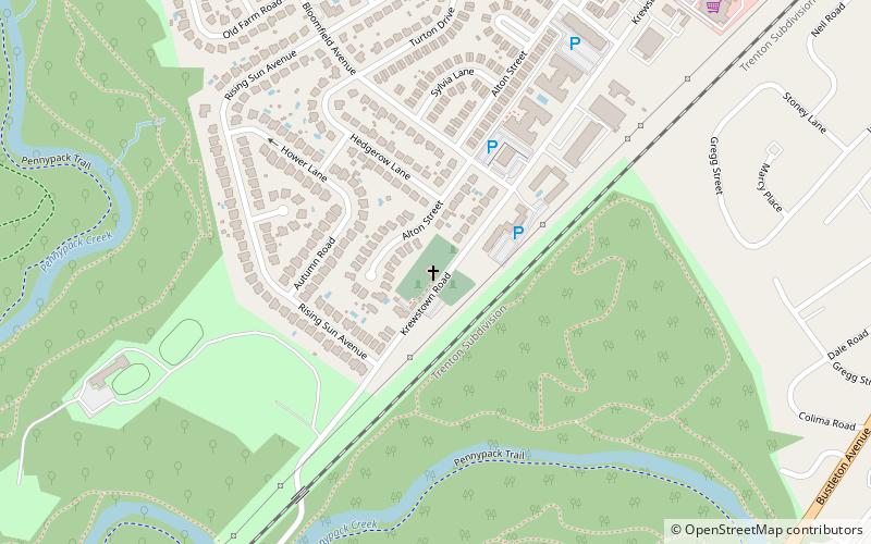
Krewstown is a neighborhood of Northeast Philadelphia close to both eastern Montgomery County, Pennsylvania and southern Bucks County, Pennsylvania located around Krewstown Road, west of the Roosevelt Boulevard. Uses of the name Krewstown include a bridge, a train station, a set of public horse stables, an apartment house complex, and the neighborhood around the apartment house complex. ()
Coordinates: 40°5'8"N, 75°2'48"W
Address
Far Northeast Philadelphia (Bustleton)Philadelphia
ContactAdd
Social media
Add
Day trips
Krewstown – popular in the area (distance from the attraction)
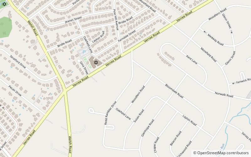
Nearby attractions include: Pennepack Baptist Church, Pennypack Creek, Pennypack Environmental Center, Politz Hebrew Academy.
Frequently Asked Questions (FAQ)
Which popular attractions are close to Krewstown?
Nearby attractions include Pennepack Baptist Church, Philadelphia (10 min walk), Politz Hebrew Academy, Philadelphia (14 min walk), Pennypack Environmental Center, Philadelphia (17 min walk).
 SEPTA Regional Rail


