University of Tennessee Agriculture Farm Mound, Knoxville
Map

Map

Facts and practical information
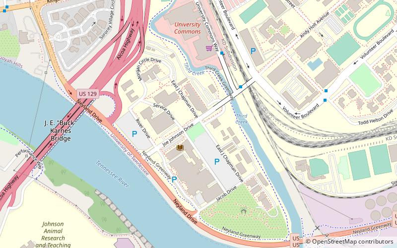
The UTK Agriculture Farm Mound site is an archaeological site on the agriculture campus of the University of Tennessee in Knoxville, Tennessee. The site is a burial mound made by people of the Woodland period, and has been dated as early as ca. 644 AD. Today, the site is a landmark on the UTK campus and is listed in the National Register for Historic Places. ()
Coordinates: 35°56'50"N, 83°56'24"W
Address
University of TennesseeKnoxville
ContactAdd
Social media
Add
Day trips
University of Tennessee Agriculture Farm Mound – popular in the area (distance from the attraction)
Nearby attractions include: World's Fair Park, Neyland Stadium, Thompson–Boling Arena, Knoxville Museum of Art.
Frequently Asked Questions (FAQ)
Which popular attractions are close to University of Tennessee Agriculture Farm Mound?
Nearby attractions include Crescent Bend, Knoxville (15 min walk), Hodges Library, Knoxville (20 min walk), McClung Museum of Natural History and Culture, Knoxville (21 min walk), Fort Sanders, Knoxville (23 min walk).
How to get to University of Tennessee Agriculture Farm Mound by public transport?
The nearest stations to University of Tennessee Agriculture Farm Mound:
Bus
Train
Bus
- Joe Johnson Dr. Past Volunteer Blvd. Wb • Lines: Orange Line Trolley (4 min walk)
- University Commons • Lines: Orange Line Trolley (7 min walk)
Train
- Three Rivers Rambler (30 min walk)


