East End Methodist Episcopal Church, North Little Rock

Gallery (1)
Map
Map
Facts and practical information
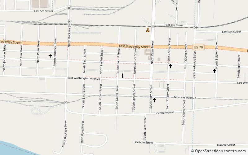
The East End Methodist Episcopal Church is a historic church at 2401 E. Washington Avenue in North Little Rock, Arkansas. It is a single-story brick structure, with a broad gable roof and a porch extending across part of its front facade. It was built in 1922 for a congregation founded in 1915, and is a fine local example of vernacular Craftsman architecture. ()
Built: 1923 (103 years ago)Coordinates: 34°45'13"N, 92°14'25"W
Address
North Little Rock
ContactAdd
Social media
Add
Getting there by public transportation
Public transportation stops near this location
- Tram
 Tram
Tram
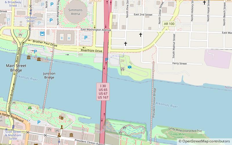
- Calculate routeWorld Avenue & 3rd Street 32 min walk
Day trips


Frequently Asked Questions (FAQ)
How to get to East End Methodist Episcopal Church by public transport?
The nearest stations to East End Methodist Episcopal Church:
Tram
Tram
- World Avenue & 3rd Street • Lines: Blue, Green (32 min walk)