Arkansas II, Little Rock
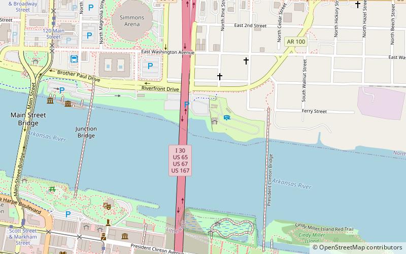
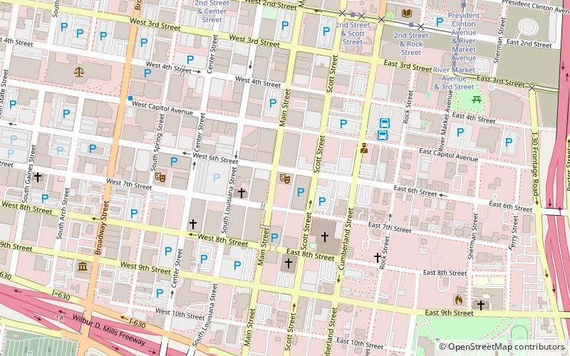
Map
Facts and practical information
The Arkansas II is a historic snagboat, berthed on the Arkansas River in North Little Rock, Arkansas. She is a steel-hulled sternwheeler, with two decks. The lower deck has a steel-frame cabin, while that on the second deck is wood-frame. A wood-frame pilot house rises above the second deck. The paddlewheel has a steel frame and wooden buckets. The vehicle is utilitarian in appearance, lacking significant decoration. The hull was built in 1939-40 by the Bethlehem Steel Corporation, and it was outfitted at the Ensley Bottoms shipyard of the United States Army Corps of Engineers at Memphis, Tennessee. It is believed to be the last steam-powered paddle-wheeler built by the USACE. ()
Coordinates: 34°45'5"N, 92°15'41"W
Address
East ArgentaLittle Rock
ContactAdd
Social media
Add
Getting there by public transportation
Public transportation stops near this location
- Bus
- Tram
 Bus
Bus
- Calculate routeGreyhound.. Little Rock. AR 9 min walk
- Calculate routeCentral Arkansas Transit Authority Bus Terminal 17 min walk
- Calculate routePresident Clinton Avenue & River Market Avenue 10 min walk
- Calculate route120 Main Street 12 min walk
- Calculate routeRiver Market Avenue & 3rd Street 12 min walk
- Calculate route2nd Street & Rock Street 12 min walk
Day trips


Frequently Asked Questions (FAQ)
Which popular attractions are close to Arkansas II?
Nearby attractions include USS Razorback, Little Rock (6 min walk), Witt Stephens Jr. Central Arkansas Nature Center, Little Rock (8 min walk), Simmons Bank Arena, Little Rock (8 min walk), Museum of Discovery, Little Rock (9 min walk).
How to get to Arkansas II by public transport?
The nearest stations to Arkansas II:
Bus
Tram
Bus
- Greyhound.. Little Rock. AR (9 min walk)
- Central Arkansas Transit Authority Bus Terminal (17 min walk)
Tram
- President Clinton Avenue & River Market Avenue • Lines: Blue, Green (10 min walk)
- 120 Main Street • Lines: Blue (12 min walk)