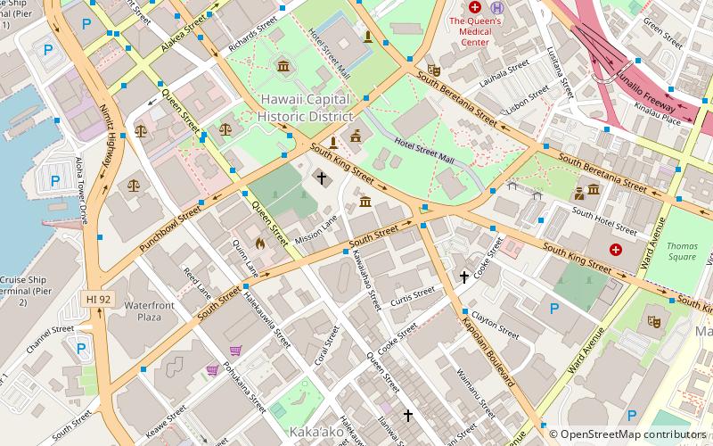
Downtown Honolulu, Honolulu
Map

Map

Facts and practical information
Downtown Honolulu is the current historic, economic, and governmental center of Honolulu, the capital and largest city of the U.S. state of Hawaii. It is bounded by Nuʻuanu Stream to the west, Ward Avenue to the east, Vineyard Boulevard to the north, and Honolulu Harbor to the south. Both modern and historic buildings and complexes are located in the area, with many of the latter declared National Historic Landmarks on the National Register of Historic Places. ()
Coordinates: 21°18'12"N, 157°51'25"W
Address
Downtown HonoluluHonolulu
ContactAdd
Social media
Add
Day trips
Downtown Honolulu – popular in the area (distance from the attraction)
Nearby attractions include: Aloha Tower Marketplace, Aloha Tower, Statues of Kamehameha I, Hawaiian Mission Houses Historic Site and Archives.
Frequently Asked Questions (FAQ)
Which popular attractions are close to Downtown Honolulu?
Nearby attractions include Hawaiian Mission Houses Historic Site and Archives, Honolulu (2 min walk), Kawaiahao Church, Honolulu (3 min walk), Lunalilo Mausoleum, Honolulu (3 min walk), Honolulu Hale, Honolulu (4 min walk).
How to get to Downtown Honolulu by public transport?
The nearest stations to Downtown Honolulu:
Bus
Bus
- South Street + Kawaiahao Street • Lines: 42, 80, 80B, 82, 85, 86, 87, 88, 89 (2 min walk)
- Kapiolani Boulevard + South Street • Lines: 13, 3, 40, 51, 52, 53, 9, 98A, A, C, E (3 min walk)


