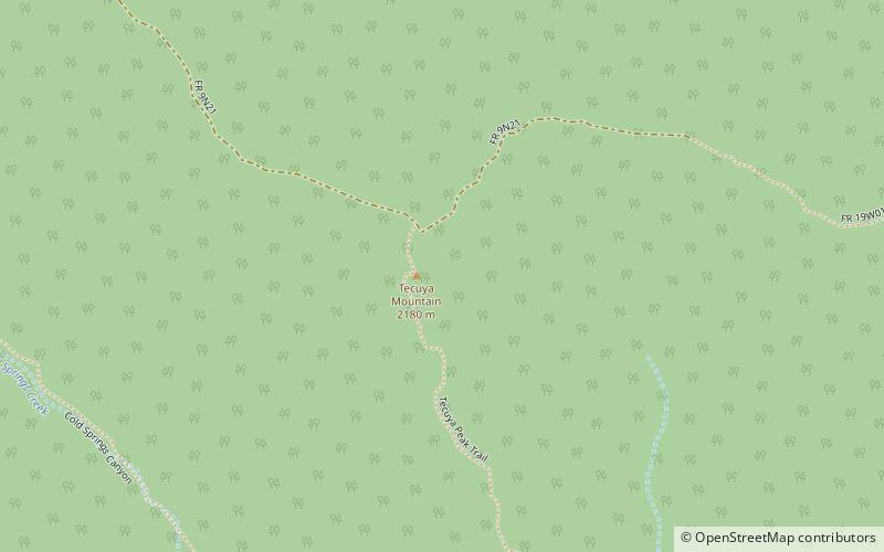
Tecuya Mountain, Los Padres National Forest

Map
Facts and practical information
Tecuya Mountain in southern Kern County, California, more than 7,163 feet high, is the highest point on the Tecuya Ridge of the San Emigdio Mountains in the Transverse Ranges. ()
Coordinates: 34°50'32"N, 118°58'52"W
Address
Los Padres National Forest
ContactAdd
Social media
Add
Day trips
Tecuya Mountain – popular in the area (distance from the attraction)
Nearby attractions include: Frazier Mountain, Fort Tejon.

