Frazier Mountain, Los Padres National Forest
Map

Map

Facts and practical information
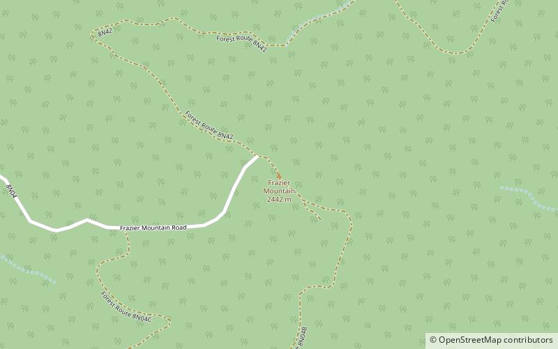
Frazier Mountain is a broad, pine-forested peak in the Transverse Ranges System, within the Los Padres National Forest in northeastern Ventura County, California. At 8,017 feet, Frazier Mnt. is the sixteenth-highest mountain in the Transverse Ranges of Southern California. It is named for miner who worked in the area in the 1850s, William T. Frazer, with a spelling alteration. ()
Elevation: 8017 ftProminence: 2440 ftCoordinates: 34°46'30"N, 118°58'8"W
Address
Los Padres National Forest
ContactAdd
Social media
Add
Day trips
Frazier Mountain – popular in the area (distance from the attraction)
Nearby attractions include: Tecuya Mountain.

