Brown's Island, Richmond
Map

Map

Facts and practical information
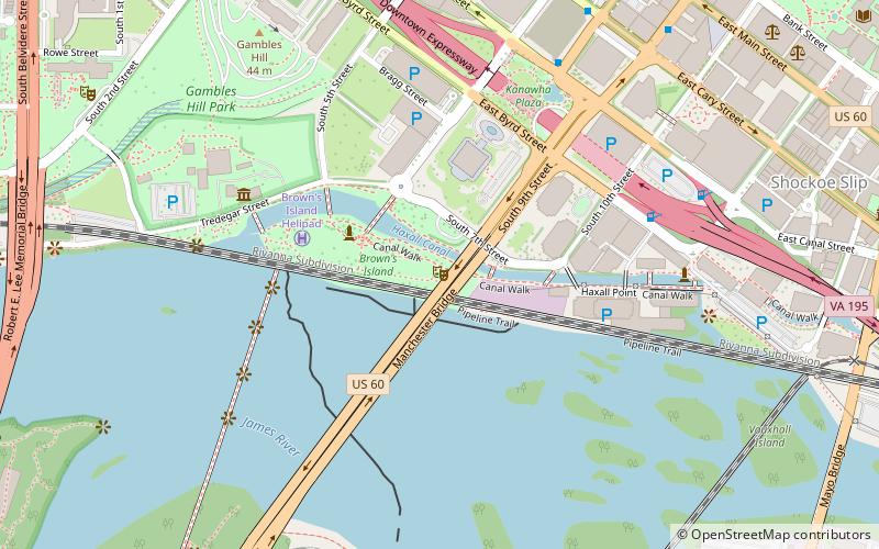
Brown's Island is an artificial continental island on the James River in Richmond, Virginia, formed by the Haxall Canal. Part of the city's James River Park, it is the popular venue of a large number of outdoor concerts and festivals in the spring and summer, such as the weekly Friday Cheers concert series or Dominion Riverrock. The Rivanna Subdivision Trestle crosses over the island. ()
Elevation: 23 ft a.s.l.Coordinates: 37°32'2"N, 77°26'28"W
Day trips
Brown's Island – popular in the area (distance from the attraction)
Nearby attractions include: Richmond Coliseum, Tredegar Iron Works, The National, Virginia War Memorial.
Frequently Asked Questions (FAQ)
Which popular attractions are close to Brown's Island?
Nearby attractions include Manchester Bridge, Richmond (3 min walk), Rivanna Subdivision Trestle, Richmond (6 min walk), Central Office District, Richmond (7 min walk), Richmond National Battlefield Park, Richmond (7 min walk).
How to get to Brown's Island by public transport?
The nearest stations to Brown's Island:
Train
Bus
Train
- Richmond Main Street (17 min walk)
Bus
- A • Lines: 1A, 1C (19 min walk)
- B • Lines: 1A, 1C (19 min walk)


