First Freedom Center, Richmond
Facts and practical information
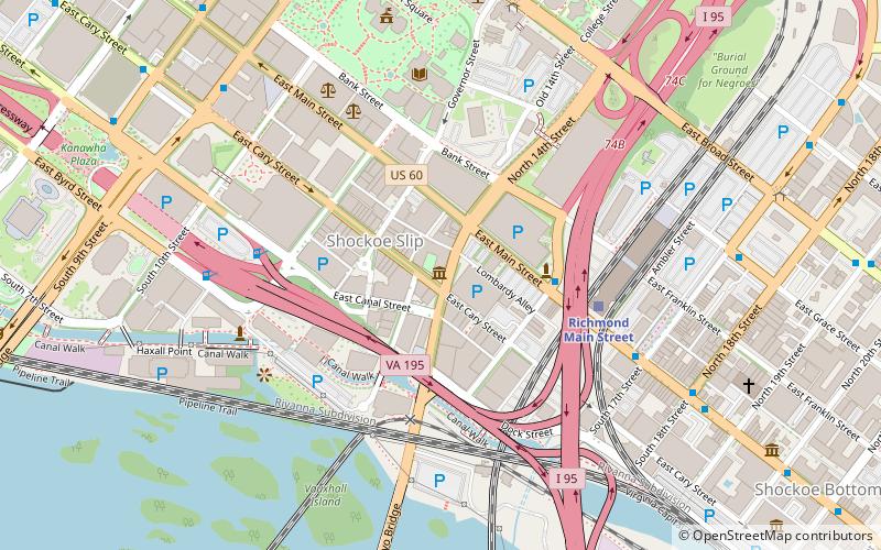
The First Freedom Center is a 501 nonprofit located in Richmond, Virginia. Its mission is to commemorate and educate about freedom of religion and conscience as proclaimed in Thomas Jefferson's Virginia Statute for Religious Freedom. Located in the Shockoe Slip district of downtown Richmond, the Center sits on the site where Jefferson's statute was enacted into law by the Virginia General Assembly on January 16, 1786. Championed through the Virginia General Assembly by James Madison, the statute was the first law of absolute religious freedom enacted in the young nation and served as a template for the religion clauses of the First Amendment to the U.S. Constitution, which would be ratified five years later. ()
14 S 14th StDowntown Richmond (Shockoe Slip)Richmond 23219
- Bus
- Train
 Bus
Bus
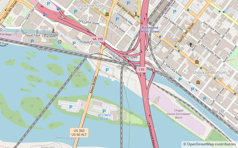
- Calculate routeRichmond Main Street 5 min walk
- Calculate routeA 13 min walk
- Calculate routeB 13 min walk
- Calculate routeC 13 min walk
- Calculate routeD 14 min walk
First Freedom Center – popular in the area (distance from the attraction)
Nearby attractions include: Virginia State Capitol, Richmond Coliseum, The National, Norfolk Southern James River Bridge.


Frequently Asked Questions (FAQ)
When is First Freedom Center open?
- Monday closed
- Tuesday 10 am - 5 pm
- Wednesday 10 am - 5 pm
- Thursday 10 am - 5 pm
- Friday 10 am - 5 pm
- Saturday 10 am - 5 pm
- Sunday 10 am - 5 pm
Which popular attractions are close to First Freedom Center?
How to get to First Freedom Center by public transport?
Train
- Richmond Main Street (5 min walk)
Bus
- A • Lines: 1A, 1C (13 min walk)
- B • Lines: 1A, 1C (13 min walk)