Central Park, Santa Clarita
Map

Map

Facts and practical information
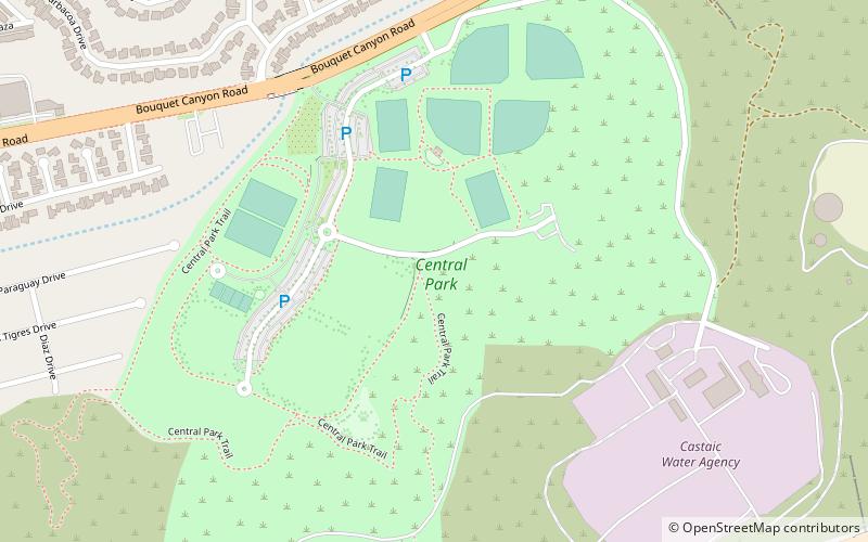
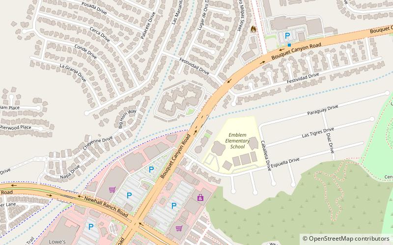
Central Park is a large municipal park located near the geographic center of Santa Clarita, California. The park was developed on 105 acres of land leased by the Santa Clarita Valley Water Agency to the City of Santa Clarita. It is accessible via Bouquet Canyon Road, which parallels Bouquet Creek along the northern edge of the park. ()
Elevation: 1230 ft a.s.l.Coordinates: 34°25'53"N, 118°31'16"W
Day trips
Central Park – popular in the area (distance from the attraction)
Nearby attractions include: X2 Roller Coaster, Westfield Valencia Town Center, The New Revolution Roller Coaster, Road Runner Express.


