Soledad Canyon, Santa Clarita
Map

Map

Facts and practical information
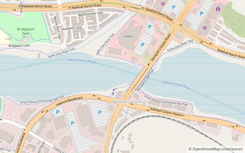
Soledad Canyon is a long narrow canyon/valley located in Los Angeles County, California between the cities of Palmdale and Santa Clarita. It is a part of the Santa Clara River Valley, and extends from the top of Soledad Pass to the open plain of the valley in Santa Clarita. The upstream section of the Santa Clara River runs through it. ()
Coordinates: 34°25'27"N, 118°32'28"W
Address
Santa Clarita (Valencia)Santa Clarita
ContactAdd
Social media
Add
Day trips
Soledad Canyon – popular in the area (distance from the attraction)
Nearby attractions include: Westfield Valencia Town Center, Central Park, Bouquet Canyon, Santa Clarita City Hall.
Frequently Asked Questions (FAQ)
How to get to Soledad Canyon by public transport?
The nearest stations to Soledad Canyon:
Train
Train
- Santa Clarita (30 min walk)


