Hazard Farmstead, Conanicut Island

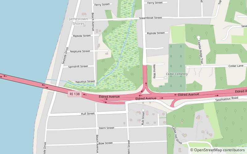
Map
Facts and practical information
The Hazard Farmstead is a historic archaeological site in Jamestown, Rhode Island. It is the location of a major American Indian settlement whose artifacts have been dated from 2,500 BC to 1,000 AD. It appeared to be occupied seasonally from late summer to fall, and was intensively used during those times. ()
Coordinates: 41°31'37"N, 71°23'10"W
Address
Jamestown ShoresConanicut Island
ContactAdd
Social media
Add
Day trips
Hazard Farmstead – popular in the area (distance from the attraction)
Nearby attractions include: Jamestown Windmill, Friends Meetinghouse, Plum Beach Light, Jamestown Verrazzano Bridge.
Frequently Asked Questions (FAQ)
Which popular attractions are close to Hazard Farmstead?
Nearby attractions include Windmill Hill Historic District, Conanicut Island (5 min walk), Watson Farm, Jamestown (14 min walk).


