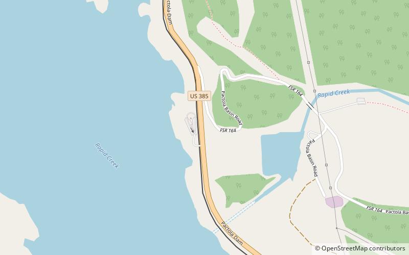
Pactola Dam, Black Hills National Forest
Map

Map

Facts and practical information
Pactola Dam is an embankment dam on Rapid Creek in Pennington County, South Dakota, about 10 miles west of Rapid City. The dam was completed in 1956 by the U.S. Bureau of Reclamation to provide flood control, water supply and recreation. Along with the nearby Deerfield Dam, it is part of the Rapid Valley Unit of the Pick-Sloan Missouri Basin Program. U.S. Route 385 runs along the crest of the dam. The dam forms Pactola Lake, which at over 1,200 acres is the largest and deepest body of water in the Black Hills. ()
Opened: 1956 (70 years ago)Length: 2236 ftHeight: 245 ftReservoir area: 1.92 mi²Coordinates: 44°4'32"N, 103°29'20"W
Address
Black Hills National Forest
ContactAdd
Social media
Add
Day trips
Pactola Dam – popular in the area (distance from the attraction)
Nearby attractions include: Pactola Lake.

