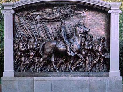
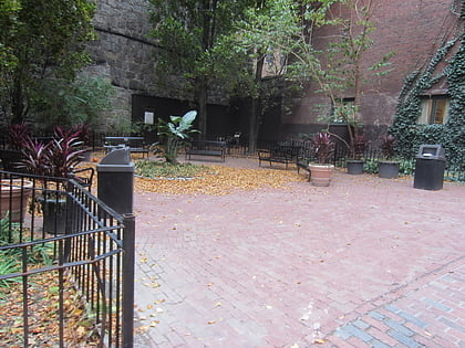
Beacon Hill, Boston
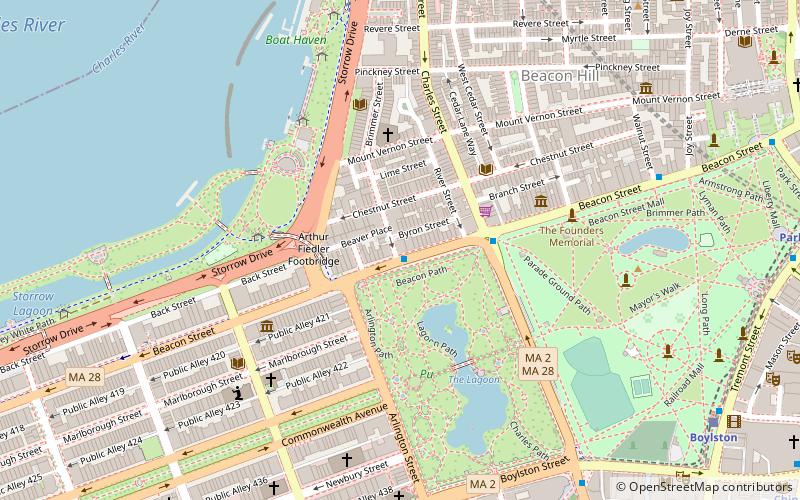
Map
Gallery
Facts and practical information
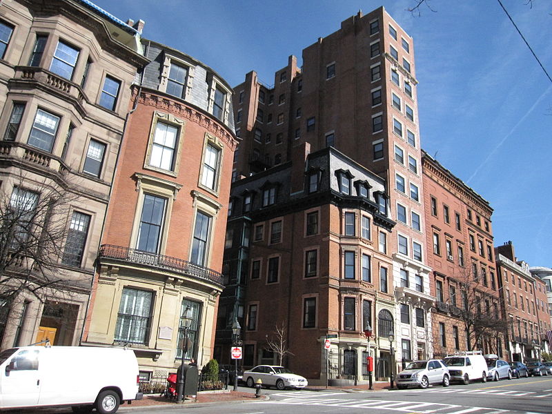
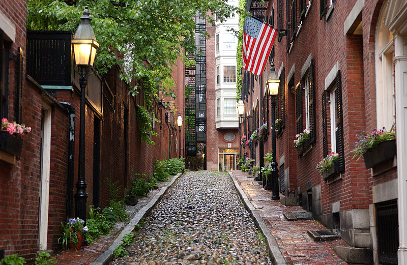
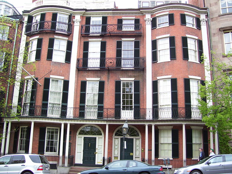
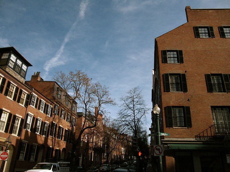
Beacon Hill is a historic neighborhood in Boston, Massachusetts, and the hill upon which the Massachusetts State House resides. The term "Beacon Hill" is used locally as a metonym to refer to the state government or the legislature itself, much like Washington, D.C.'s "Capitol Hill" does at the federal level. ()
Day trips
Beacon Hill – popular in the area (distance from the attraction)
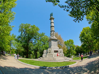
Nearby attractions include: Boston Common, Massachusetts State House, Oneida Football Club Monument, Soldiers and Sailors Monument.
Frequently Asked Questions (FAQ)
Which popular attractions are close to Beacon Hill?
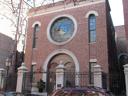
Nearby attractions include Harrison Gray Otis House, Boston (1 min walk), Louisburg Square, Boston (2 min walk), Nichols House Museum, Boston (2 min walk), Vilna Shul, Boston (3 min walk).
How to get to Beacon Hill by public transport?
The nearest stations to Beacon Hill:
Metro
Light rail
Bus
Train
Metro
- Charles/MGH • Lines: Red (7 min walk)
- Park Street • Lines: Red (8 min walk)
Light rail
- Park Street • Lines: B, C, D, E (8 min walk)
- Boylston • Lines: B, C, D, E (11 min walk)
Bus
- Tremont St opp Temple Pl • Lines: 55 (9 min walk)
- Stuart St @ Charles St S • Lines: 504, 55 (14 min walk)
Train
- Boston North Station (16 min walk)
- Boston South Station (21 min walk)




 MBTA Subway


