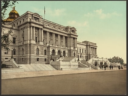
Capitol Hill, Washington D.C.
Map
Gallery
Facts and practical information
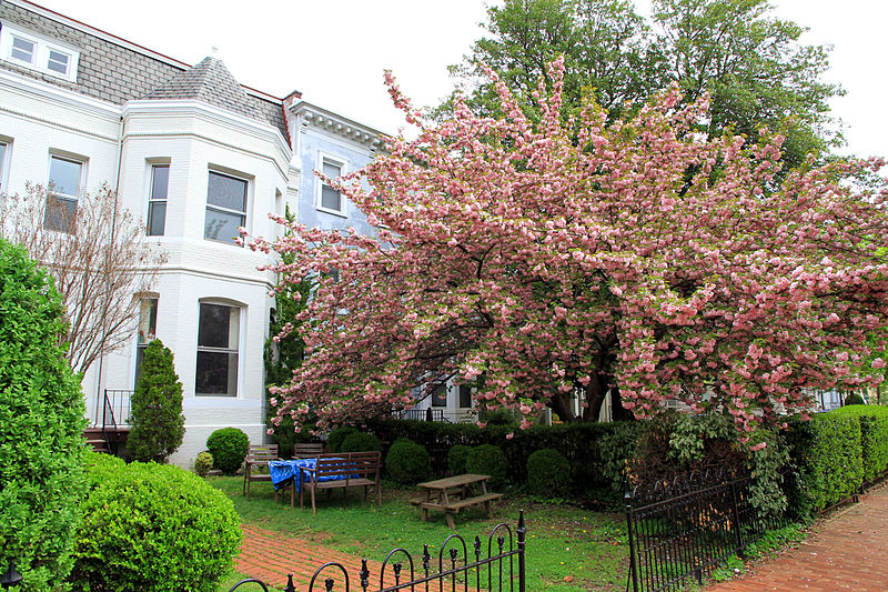
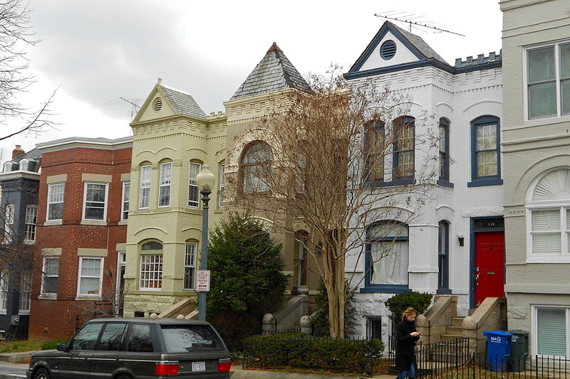
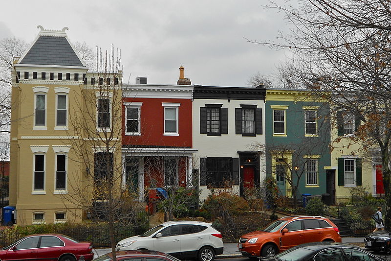
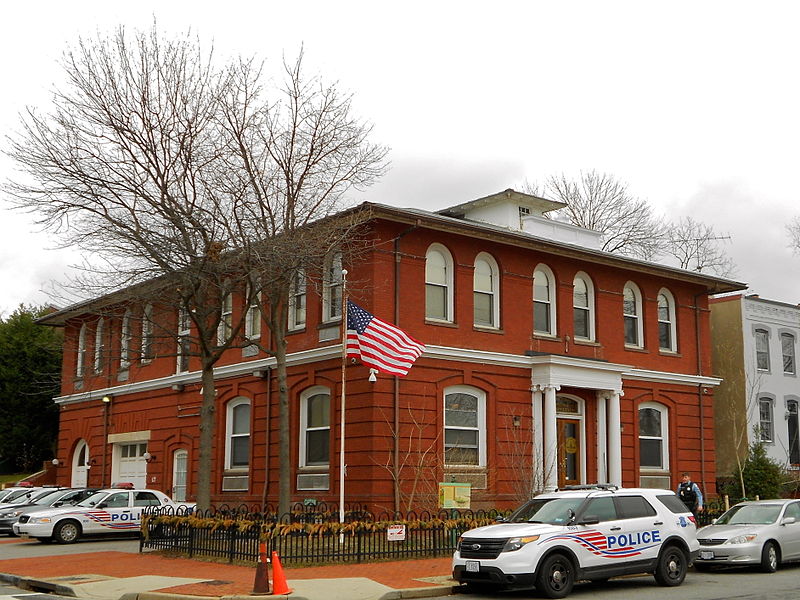
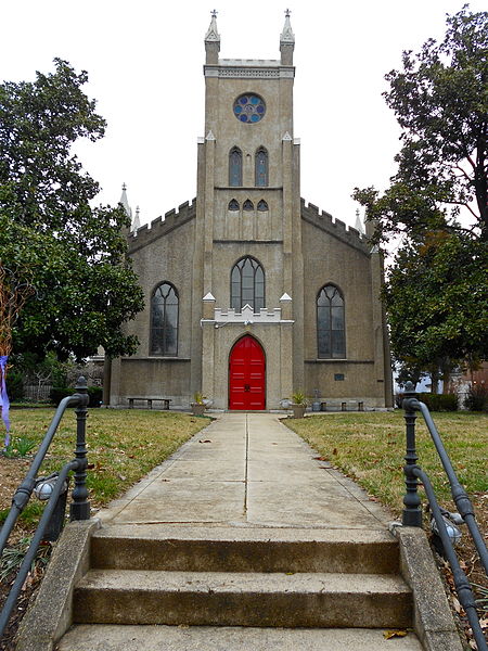
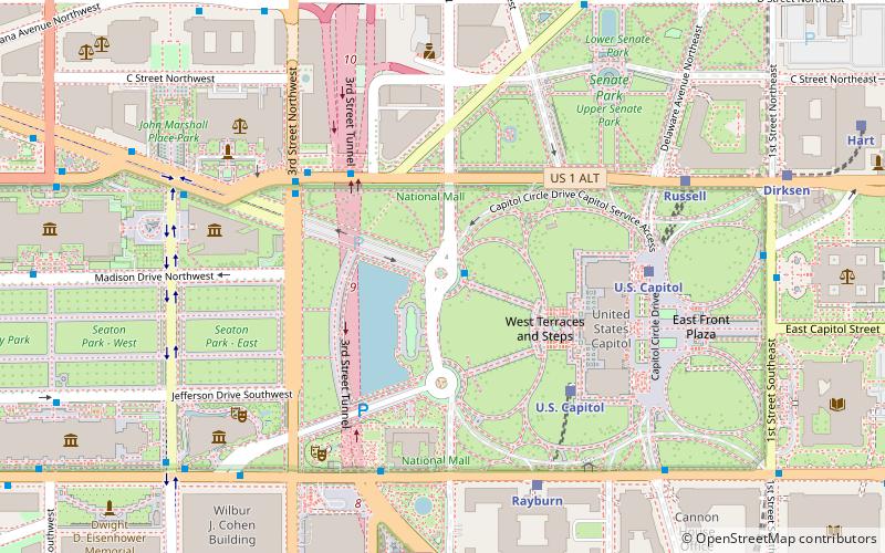
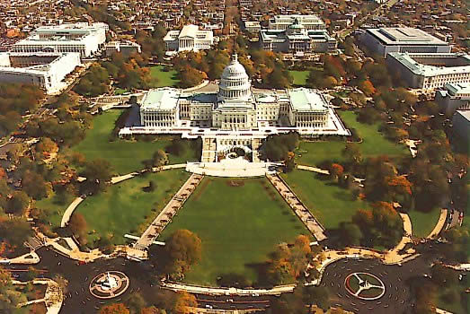
Capitol Hill, in addition to being a metonym for the United States Congress, is the largest historic residential neighborhood in Washington, D.C. stretching easterly in front of the United States Capitol along wide avenues. It is one of the oldest residential neighborhoods in Washington, D.C., and, with roughly 35,000 people in just under 2 square miles, it is also one of the most densely populated. ()
Day trips
Capitol Hill – popular in the area (distance from the attraction)
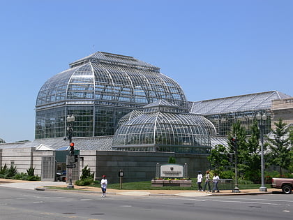
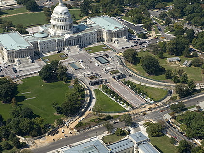
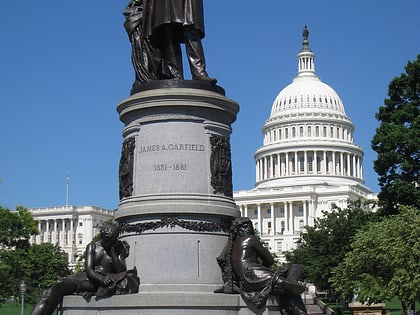
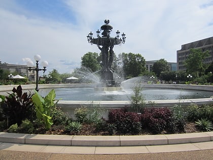
Nearby attractions include: United States Capitol, United States Botanic Garden, Statue of Freedom, Union Square.
Frequently Asked Questions (FAQ)
Which popular attractions are close to Capitol Hill?
Nearby attractions include United States Capitol, Washington D.C. (1 min walk), National Statuary Hall Collection, Washington D.C. (1 min walk), Statue of Freedom, Washington D.C. (2 min walk), Ohio Clock, Washington D.C. (2 min walk).
How to get to Capitol Hill by public transport?
The nearest stations to Capitol Hill:
Train
Metro
Bus
Tram
Train
- U.S. Capitol (1 min walk)
- Rayburn (5 min walk)
Metro
- Capitol South • Lines: Bl, Or, Sv (10 min walk)
- Federal Center Southwest • Lines: Bl, Or, Sv (12 min walk)
Bus
- FlixBus Washington Union Station • Lines: 2601, 2602, 2668, N2610 (14 min walk)
- Washington Deluxe Bus (17 min walk)
Tram
- Union Station • Lines: H Street/Benning Road Streetcar (20 min walk)
- H Street & 8th Street Northeast • Lines: H Street/Benning Road Streetcar (28 min walk)


