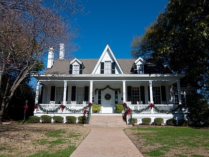
City Hall, Macon
Map
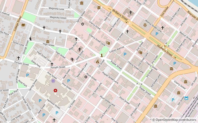
Map

Facts and practical information
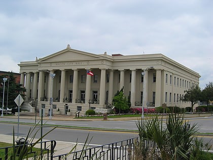
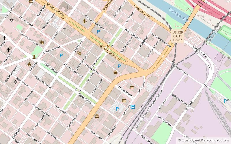
Macon City Hall serves as the seat of government for the city of Macon, Georgia, in the United States. It is located in the downtown area, surrounded by Cotton Avenue, First Street, Poplar Street, and D.T. Walton, Sr. Way. It is located diagonally across the street from the Macon City Auditorium. ()
Coordinates: 32°50'10"N, 83°37'56"W
Address
Macon
ContactAdd
Social media
Add
Day trips
City Hall – popular in the area (distance from the attraction)
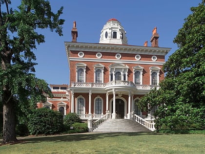
Nearby attractions include: Luther Williams Field, OrthoGeorgia Park, Hay House, Cox Capitol Theatre.
Frequently Asked Questions (FAQ)
Which popular attractions are close to City Hall?
Nearby attractions include Macon City Auditorium, Macon (3 min walk), Saint Joseph's Catholic Church, Macon (3 min walk), Temple Beth Israel, Macon (6 min walk), High Street Church, Macon (6 min walk).
How to get to City Hall by public transport?
The nearest stations to City Hall:
Bus
Bus
- Terminal Station (13 min walk)
