Royalston Falls, Royalston

Gallery (2)
Map
Map
Gallery
Facts and practical information
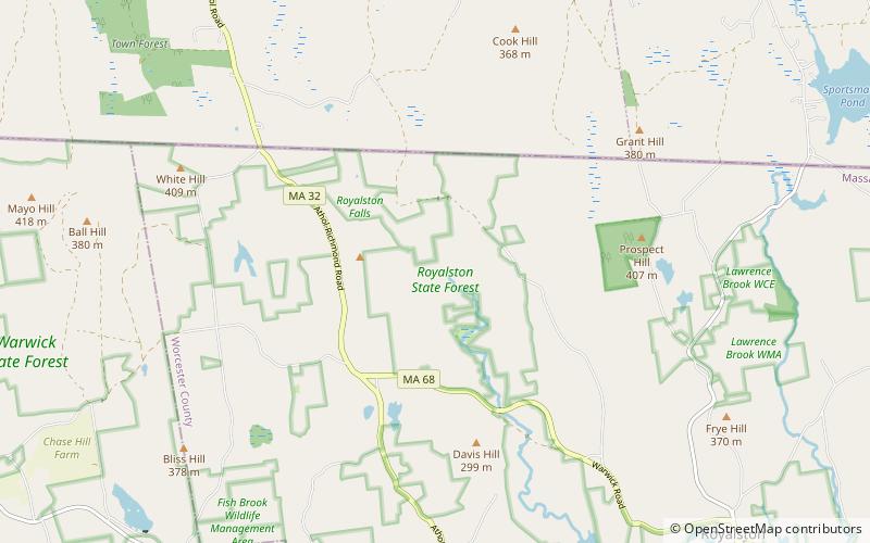
Royalston Falls is a 50 foot waterfall and granite gorge located in Royalston, Massachusetts along Falls Brook, a tributary of the Tully River which in turn is a tributary of the Millers River. The falls are part of a 217-acre open space preserve acquired in 1951 by the land conservation non-profit organization The Trustees of Reservations. The 22-mile Tully Trail and the 110-mile Metacomet-Monadnock Trail, a National Recreation Trail, pass through the property. ()
Established: 1951 (75 years ago)Coordinates: 42°42'24"N, 72°14'6"W
Day trips


