Doane's Falls, Royalston

Gallery (3)
Map
Map
Gallery
Facts and practical information
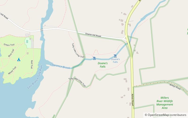
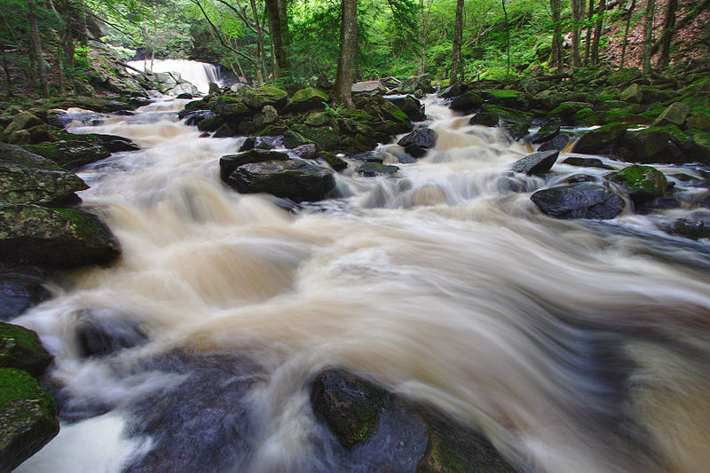
Doane's Falls is a series of five waterfalls located in Royalston, Massachusetts along an 0.2-mile section of Lawrence Brook, a tributary of the Millers River that originates from Laurel Lake in Fitzwilliam. The falls are part of a 46-acre open space preserve acquired in 1959 by the land conservation non-profit organization The Trustees of Reservations. The 22-mile Tully Trail passes through the property. ()
Established: 1959 (67 years ago)Coordinates: 42°38'55"N, 72°12'13"W
Day trips


