St. John's Metropolitan Community Church, Raleigh
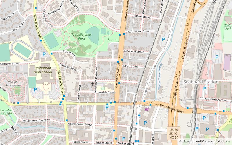
Map
Facts and practical information
St. John's Metropolitan Community Church is a Christian church catering to the LGBT population in Raleigh, North Carolina, United States. The church is a member congregation of the Metropolitan Community Church, a worldwide fellowship of LGBT-affirming churches. St. John's is also affiliated with the North Carolina Council of Churches and the Raleigh Religious Network for Lesbian and Gay Equality. The church located on Maywood Avenue near downtown Raleigh. ()
Coordinates: 35°47'26"N, 78°38'50"W
Getting there by public transportation
Public transportation stops near this location
- Bus
- Train
 Bus
Bus
- Calculate routeGlenwood Ave at Devereux St 2 min walk
- Calculate routeW Peace St at Glenwood Ave 4 min walk
- Calculate routeRaleigh 24 min walk
Day trips
St. John's Metropolitan Community Church – popular in the area (distance from the attraction)
Nearby attractions include: North Carolina Museum of Natural Sciences, City Market, Pullen Park Carousel, Sacred Heart Cathedral.


Frequently Asked Questions (FAQ)
Which popular attractions are close to St. John's Metropolitan Community Church?
Nearby attractions include Wachovia Building Company Contemporary Ranch House, Raleigh (14 min walk), Peace College Main Building, Raleigh (14 min walk), Mount Hope Cemetery, Raleigh (15 min walk), Haywood Hall, Raleigh (16 min walk).
How to get to St. John's Metropolitan Community Church by public transport?
The nearest stations to St. John's Metropolitan Community Church:
Bus
Train
Bus
- Glenwood Ave at Devereux St • Lines: 6 (2 min walk)
- W Peace St at Glenwood Ave • Lines: 12 (4 min walk)
Train
- Raleigh (24 min walk)