Fourteen Mile Creek, Charlestown

Gallery (6)
Map


Map

Gallery
Facts and practical information
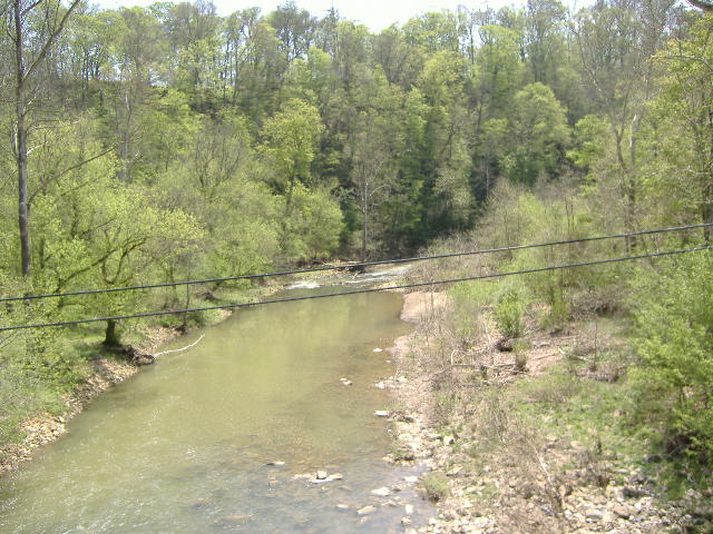
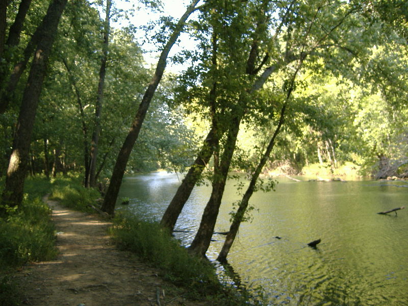
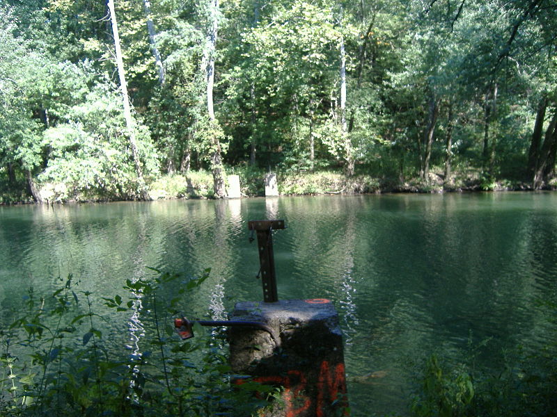
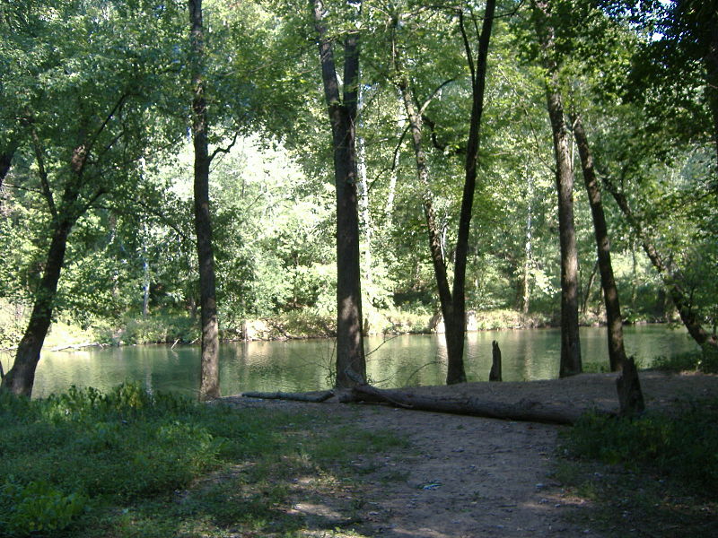
Fourteen Mile Creek, shown as Fourteenmile Creek on federal maps, is a 22.7-mile-long creek in Clark County, Indiana, close to Charlestown. It is so named because its mouth on the Ohio River is 14 miles upstream from the Falls of the Ohio; similar to how Eighteen Mile Island, Twelve Mile Island, and Six Mile Island got their names. It is navigable for 2.9 miles from the Ohio River. It is a State Heritage Program Site and a popular canoe trail. ()
Coordinates: 38°25'24"N, 85°37'15"W
Address
Charlestown
ContactAdd
Social media
Add
Day trips