Beechland Beach, Louisville
#290 among attractions in Louisville

Facts and practical information
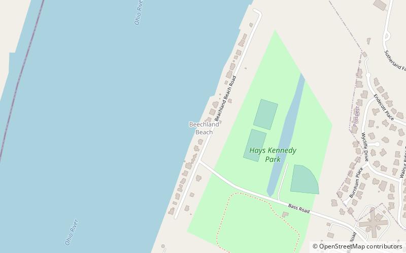
Beechland Beach is a neighborhood of Louisville, Kentucky located on the Ohio River at Beechland Beach Road. ()
Louisville United States
Beechland Beach – popular in the area (distance from the attraction)
Nearby attractions include: Locust Grove, Paddock Shops, E. P. "Tom" Sawyer State Park, Louisville Water Tower.
 Museum, History museum, Historical place
Locust Grove, Louisville
124 min walk • Historic Locust Grove is a 55-acre 18th-century farm site and National Historic Landmark situated in eastern Jefferson County, Kentucky.
 Shopping, Shopping centre
Paddock Shops, Louisville
113 min walk • The Paddock Shops is a shopping complex in the east end of Louisville, Kentucky USA, billed as a lifestyle center. Originally known as The Summit of Louisville, it is currently owned by Boston-based CPT Capital Management and managed by Chicago-based Fairbourne Properties.
 Park
ParkE. P. "Tom" Sawyer State Park, Louisville
165 min walk • E. P. "Tom" Sawyer State Park is a 550-acre Kentucky state park located in the Freys Hill area of Louisville, Kentucky, on former land of Kentucky's Central State Hospital.
 Museum, Historical place, Tower
Louisville Water Tower, Louisville
160 min walk • The Louisville Water Tower, located east of downtown Louisville, Kentucky near the riverfront, is the oldest ornamental water tower in the world, having been built before the more famous Chicago Water Tower. Both the actual water tower and its pumping station are a designated National Historic Landmark for their architecture.
 Cemetery
Zachary Taylor National Cemetery, Louisville
135 min walk • Zachary Taylor National Cemetery is a United States National Cemetery located at 4701 Brownsboro Road, in Louisville, Kentucky.
 Museum, Science museum
Louisville WaterWorks Museum, Louisville
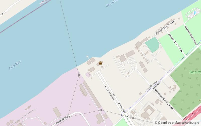
159 min walk • Louisville WaterWorks Museum opened in the west wing of a renovated and restored interior of Pumping Station No. 1 on Zorn Avenue at 3005 River Road in Louisville, Kentucky overlooking the Ohio River.
 Nature, Natural attraction, Waterfall
Fourteen Mile Creek, Charlestown
124 min walk • Fourteen Mile Creek, shown as Fourteenmile Creek on federal maps, is a 22.7-mile-long creek in Clark County, Indiana, close to Charlestown.
 Bridge
Lewis and Clark Bridge, Louisville
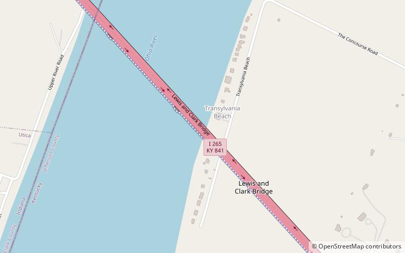
26 min walk • The Lewis and Clark Bridge is a bridge that crosses the Ohio River northeast of downtown Louisville, Kentucky and is part of a ring road around the Louisville metropolitan area, connecting two previously disjointed segments of Interstate 265.
 Memorial
Patriots Peace Memorial, Louisville
134 min walk • Patriots Peace Memorial is a monument in eastern Louisville, Kentucky near the banks of the Ohio River.
 Area
AreaIndian Hills, Louisville
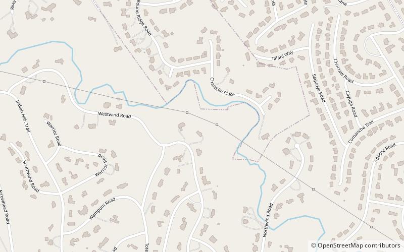
139 min walk • Indian Hills is a home rule-class city along the Ohio River in Jefferson County, Kentucky, United States. The population was 2,868 as of the 2010 census.
 Locality
Charlestown State Park
134 min walk • Charlestown State Park is an Indiana state park on 5,100 acres in Clark County, Indiana, in the United States. The park is on the banks of the Ohio River, 1 mile east of Charlestown.