Union Park, Chicago
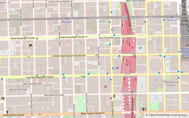
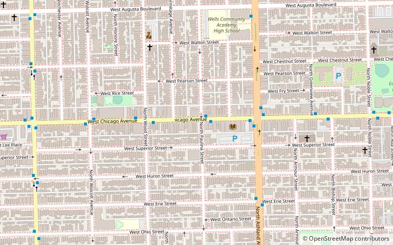
Map
Gallery
Facts and practical information
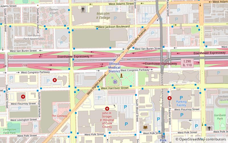
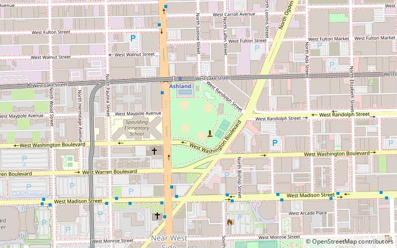
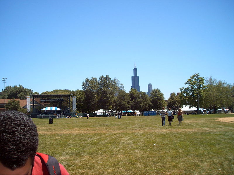
Union Park is a municipal park in Chicago, Illinois, comprising 13.46 acres. ()
Created: 1853Elevation: 594 ft a.s.l.Coordinates: 41°53'2"N, 87°39'56"W
Address
1501 W Randolph StWest Side (Near West Side)Chicago 60607
Contact
(312) 746-5494
Social media
Add
Day trips
Union Park – popular in the area (distance from the attraction)
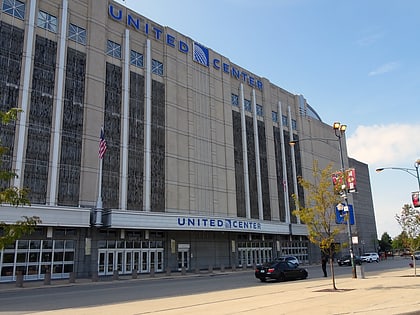
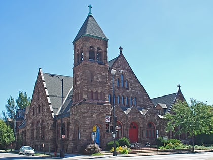
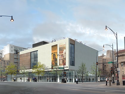
Nearby attractions include: The Empty Bottle, United Center, UIC Pavilion, First Baptist Congregational Church.
Frequently Asked Questions (FAQ)
Which popular attractions are close to Union Park?
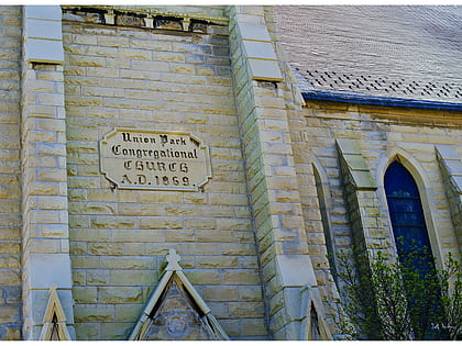
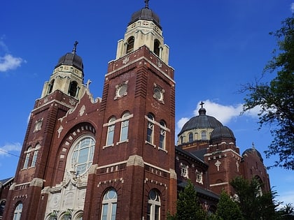
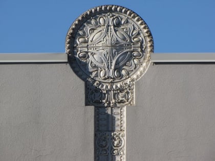
Nearby attractions include First Baptist Congregational Church, Chicago (3 min walk), Union Park Congregational Church and Carpenter Chapel, Chicago (4 min walk), Church of the Epiphany, Chicago (10 min walk), Creamery Package Manufacturing Company Building, Chicago (10 min walk).
How to get to Union Park by public transport?
The nearest stations to Union Park:
Bus
Metro
Train
Bus
- Ashland & Lake • Lines: 9, (N) N9, X9 (3 min walk)
- Madison & Laflin • Lines: 20, (N) N20 (5 min walk)
Metro
- Ashland • Lines: Green, Pink (4 min walk)
- Racine • Lines: Blue (17 min walk)
Train
- Western Avenue (32 min walk)
 Rail "L"