Ogden Avenue, Chicago
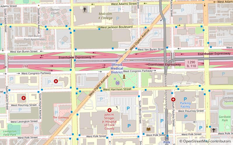
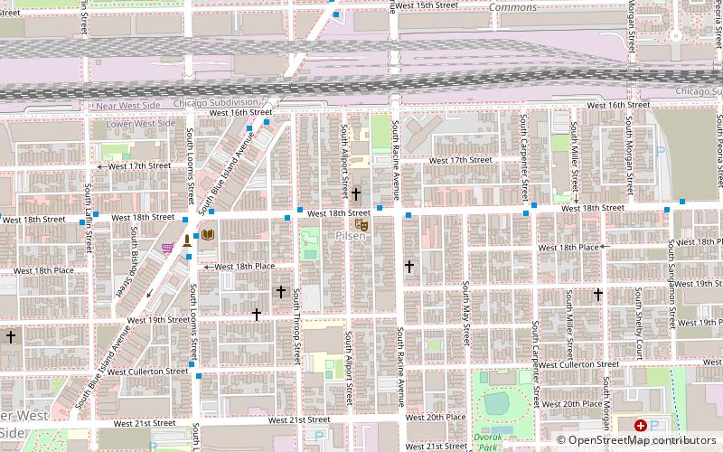
Map
Facts and practical information
Ogden Avenue is a street extending from the Near West Side of Chicago to Montgomery, Illinois. It was named for William B. Ogden, the first mayor of Chicago. ()
Coordinates: 41°52'30"N, 87°40'24"W
Address
West Side (Near West Side)Chicago
ContactAdd
Social media
Add
Getting there by public transportation
Public transportation stops near this location
- Metro
- Bus
- Train
 Metro
Metro
- Calculate routeIllinois Medical District 2 min walk
- Calculate routePolk 9 min walk
- Calculate routeRacine 19 min walk
- Calculate routeWestern 19 min walk
- Calculate routeHarrison & Ogden 3 min walk
- Calculate route1900 W Van Buren 3 min walk
- Calculate routeVan Buren & Ogden 4 min walk
- Calculate routeWestern Avenue 32 min walk
Maps Rail "L"
Rail "L"Day trips


Frequently Asked Questions (FAQ)
Which popular attractions are close to Ogden Avenue?
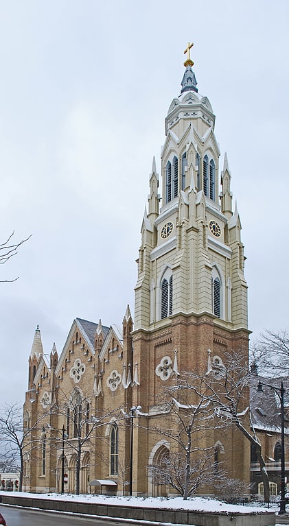
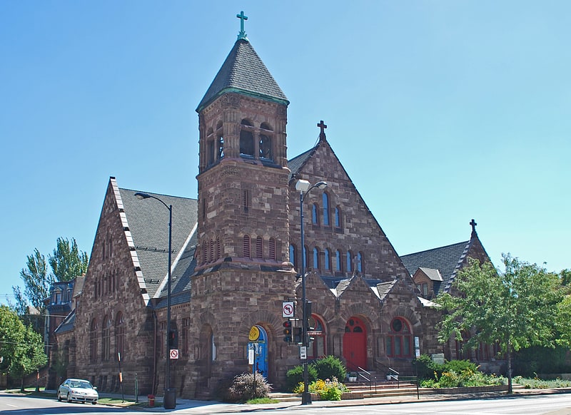
Nearby attractions include Near West Side, Chicago (10 min walk), Illinois Medical District, Chicago (11 min walk), St. Basil Greek Orthodox Church, Chicago (11 min walk), Church of the Epiphany, Chicago (12 min walk).
How to get to Ogden Avenue by public transport?
The nearest stations to Ogden Avenue:
Metro
Bus
Train
Metro
- Illinois Medical District • Lines: Blue (2 min walk)
- Polk • Lines: Pink (9 min walk)
Bus
- Harrison & Ogden • Lines: 126, 7 (3 min walk)
- 1900 W Van Buren • Lines: 126 (3 min walk)
Train
- Western Avenue (32 min walk)