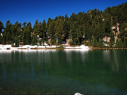
Emerald Lake, Lassen Volcanic National Park
#9 among attractions in Lassen Volcanic National Park
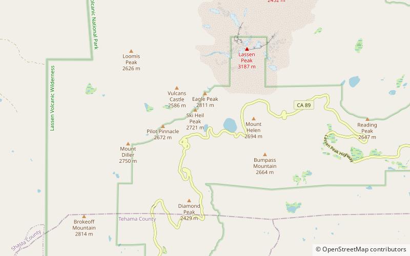

Facts and practical information
Emerald Lake is a small lake located nearby Lassen Peak in Lassen Volcanic National Park, in Shasta County, California. ()
Lassen Volcanic National Park United States
Emerald Lake – popular in the area (distance from the attraction)
Nearby attractions include: Lassen Peak, Manzanita Lake, Lake Helen, Mount Tehama.
 Major volcanic peak with hiking trails
Lassen Peak, Lassen Volcanic National Park
41 min walk • Lassen Peak, a striking volcano nestled within the diverse landscape of Lassen Volcanic National Park in California, offers a unique experience for nature enthusiasts and adventure seekers alike. Standing tall at 10,457 feet, it is one of the largest plug dome...
 Natural attraction, Lake, Body of water
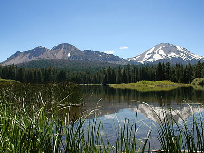
Manzanita Lake, Lassen Volcanic National Park
134 min walk • Manzanita Lake is a lake located in Lassen Volcanic National Park. The name means "little apple" in Spanish. Located near the park entrance, the lake is open for fishing and has rainbow, brown and brook trout.
 Natural attraction, Nature, Lake
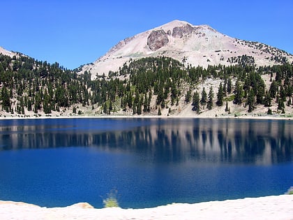
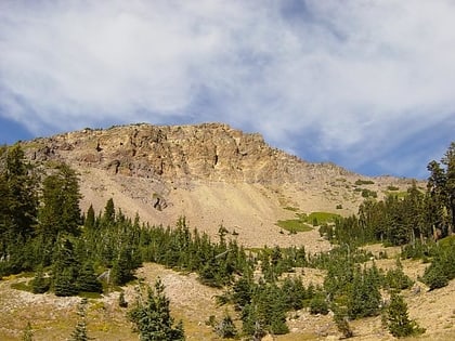
Lake Helen, Lassen Volcanic National Park
13 min walk • Lake Helen is a glacial lake or a tarn occupying a cirque at around 8,200 feet in Lassen Volcanic National Park. The lake is located to the south of Lassen Peak and west of Bumpass Mountain in the Shasta Cascades region of Northern California.
 Natural attraction, Nature, Volcano
Mount Tehama, Lassen Volcanic National Park
67 min walk • Mount Tehama is an eroded andesitic stratovolcano in the Cascade Volcanic Arc and the Cascade Range in Northern California. Part of the Lassen volcanic area, its tallest remnant, Brokeoff Mountain, is itself the second highest peak in Lassen Volcanic National Park and connects to the park's highest point, Lassen Peak.
 Natural history museum, Museum
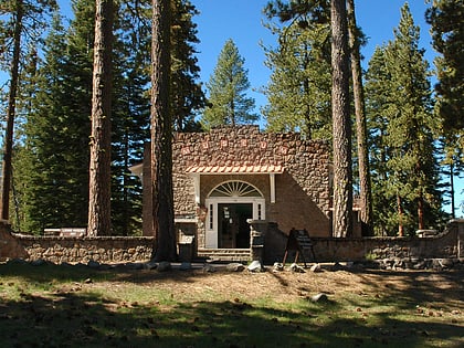
Loomis Museum, Lassen Volcanic National Park
134 min walk • The Loomis Museum, also known as the Loomis Visitor Center, the Manzanita Lake Visitor Center and the Manzanita Lake Museum, was built by Benjamin Franklin Loomis in 1927 near Manzanita Lake, just outside Lassen Volcanic National Park in California, USA.
 Natural attraction, Nature, Lake
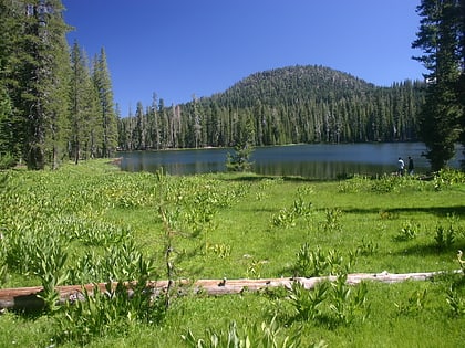
Summit Lake, Lassen Volcanic National Park
136 min walk • Summit Lake is a lake in the Lassen Volcanic National Park of Shasta County, California, east of California Route 89 at elevation 6,700 ft. Two campgrounds, named Summit Lake North and Summit Lake South, are located adjacent to the lake.
 Natural attraction, Nature, Mountain
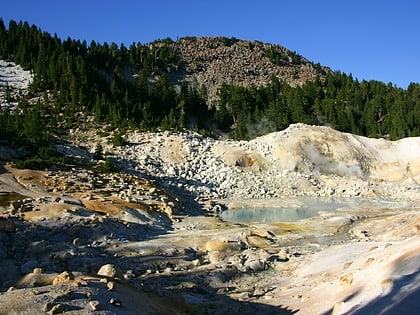
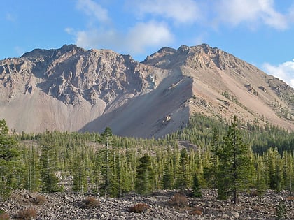
Bumpass Mountain, Lassen Volcanic National Park
30 min walk • Bumpass Mountain is a mountain located south of Lassen Peak in Lassen Volcanic National Park, California. It rises to an elevation of 8,753 feet near Bumpass Hell and Lake Helen.
 Natural attraction, Nature, Volcano
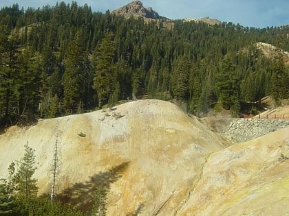
Chaos Crags, Lassen Volcanic National Park
99 min walk • Chaos Crags is the youngest group of lava domes in Lassen Volcanic National Park, California. They formed as six dacite domes 1,100-1,000 years ago, one dome collapsing during an explosive eruption about 70 years later.
 Natural attraction, Geologic formation, Park
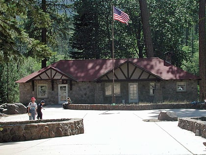
Bumpass Hell, Lassen Volcanic National Park
29 min walk • The geothermal areas in Lassen Volcanic National Park include several groups of hot springs and fumaroles, as remnants of former volcanic activity, exist in Lassen Volcanic National Park in northeastern California.
 Natural attraction, Nature, Volcano
Manzanita Lake Naturalist's Services Historic District, Lassen Volcanic National Park
133 min walk • The Manzanita Lake Naturalist's Services Historic District encompasses the historic area devoted to visitor interpretation services at the northwest entrance of Lassen Volcanic National Park in northeastern California.
 Hiking, Hiking trail
Nobles Emigrant Trail, Lassen Volcanic National Park
188 min walk • The Nobles Emigrant Trail, also known as the Fort Kearney, South Pass and Honey Lake Wagon Road, is a trail in California that was used by emigrant parties from the east as a shortened route to northern California.
