Nobles Emigrant Trail, Lassen Volcanic National Park
Map

Map

Facts and practical information
The Nobles Emigrant Trail, also known as the Fort Kearney, South Pass and Honey Lake Wagon Road, is a trail in California that was used by emigrant parties from the east as a shortened route to northern California. It was pioneered in 1851 by William Nobles, who discovered an easy shortcut between the Applegate Trail in Nevada and the Lassen Trail in California. The trail was extensively used until the 1870s, when it was superseded by railroads. ()
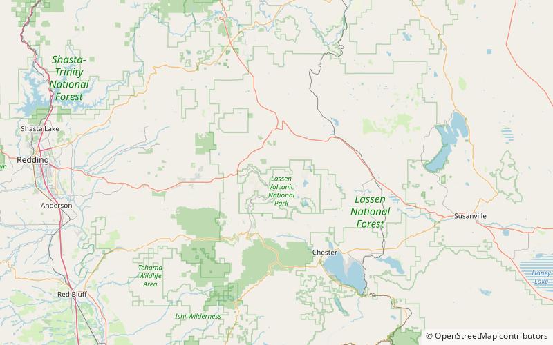
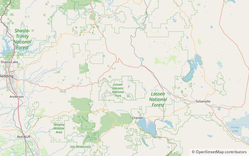
Coordinates: 40°32'50"N, 121°25'30"W
Address
Lassen Volcanic National Park
ContactAdd
Social media
Add
Day trips
Nobles Emigrant Trail – popular in the area (distance from the attraction)
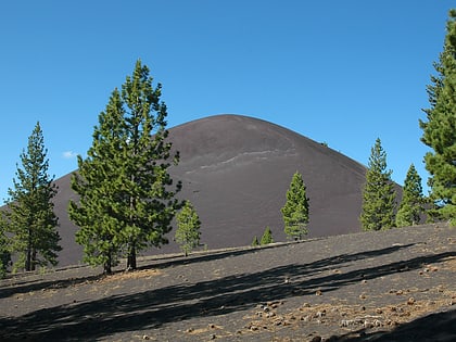
Nearby attractions include: Lassen Peak, Cinder Cone, Lake Helen, Summit Lake.


