Richthofen Castle, Denver
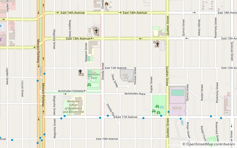
Map

Map

Facts and practical information
Richthofen Place Parkway is a historic parkway in Denver, Colorado. On September 17, 1986, it was added to the National Register of Historic Places. ()
Built: 1911 (115 years ago)Elevation: 5374 ft a.s.l.Coordinates: 39°44'7"N, 104°54'25"W
Address
East Denver (Montclair)Denver
ContactAdd
Social media
Add
Day trips
Richthofen Castle – popular in the area (distance from the attraction)
Nearby attractions include: Wings Over the Rockies Air & Space Museum, Chapel No. 1, Olinger Tower, Lowry.
Frequently Asked Questions (FAQ)
How to get to Richthofen Castle by public transport?
The nearest stations to Richthofen Castle:
Bus
Bus
- East Colfax Avenue & Oneida Street • Lines: 15 (9 min walk)


