Lowry, Denver
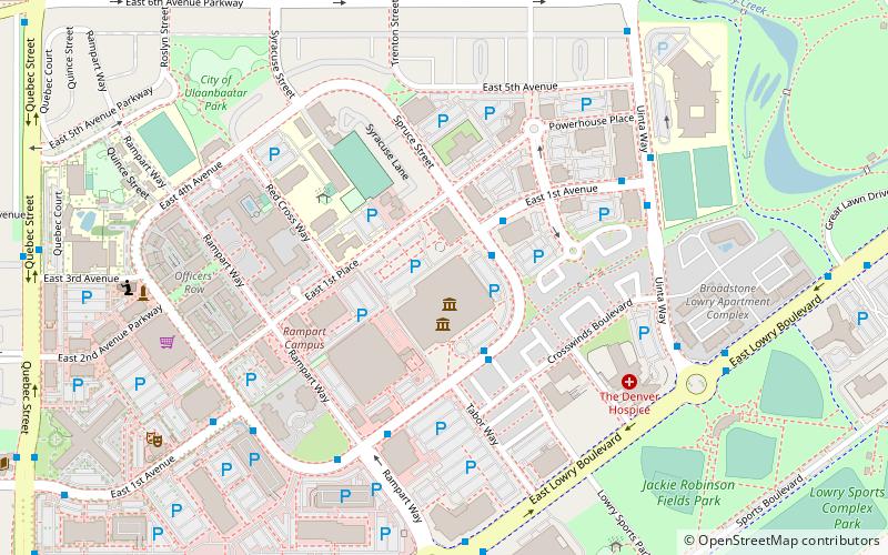
Map
Facts and practical information
Lowry is a neighborhood in the City and County of Denver, Colorado. The Lowry neighborhood is located at the site of the former Lowry Air Force Base. The old Lowry Firehouse has been converted into Colorado Free University. The Denver U.S. Post Office serves the neighborhood. A satellite campus of the University of Northern Colorado also exists in the area. ()
Coordinates: 39°43'17"N, 104°53'44"W
Address
East Denver (Lowry Field)Denver
ContactAdd
Social media
Add
Getting there by public transportation
Public transportation stops near this location
- Bus
 Bus
Bus
- Calculate routeEast Lowry Boulevard & Rampart Way 7 min walk
Day trips


Frequently Asked Questions (FAQ)
Which popular attractions are close to Lowry?
Nearby attractions include Wings Over the Rockies Air & Space Museum, Denver (2 min walk), Chapel No. 1, Denver (9 min walk).
How to get to Lowry by public transport?
The nearest stations to Lowry:
Bus
Bus
- East Lowry Boulevard & Rampart Way • Lines: 6 (7 min walk)